
A low pressure area (LPA) has the possibility to develop into tropical depression. (SOURCE: PAGASA)
A low pressure area (LPA) entered the country at dawn yesterday and is expected to bring rains in Cebu and the rest of the Visayas, the Mactan office of the state weather bureau Pagasa said.
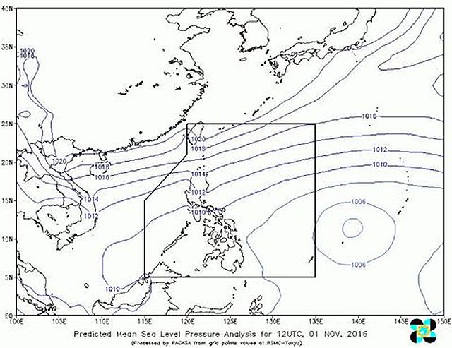
Pagasa Mactan weather analyst Alice Canasa said they also detected the presence of an Intertropical Convergence Zone (ITCZ) along with the LPA that was spotted 525 kilometers east of northeast Hinatuan, Surigao del Sur at 6 p.m. yesterday.
“We are not yet that sure if it will develop to a tropical depression since it’s near the land mass and it’s possible that it will just dissipate,” Canasa said.
Canasa said a tropical depression is a tropical cyclone with maximum sustained winds up to 61 kilometers per hour.
A tropical storm packs maximum wind speed of 62 to 88 kilometers per hour while a severe tropical storm carries maximum wind speed of 89 to 117 kilometers per hour.
It becomes a typhoon when its maximum wind speed reaches 118 to 220 kilometers per hour.
A super typhoon barrels through with winds exceeding 220 kilometers per hour. At least three typhoons will enter the country this November.
If the LPA develops into one, it will be called “Marce”, Canasa said.
The public is advised to bring raincoats and umbrellas since rains are expected within this week.
“As long as there is the presence of ITCZ then expect intermittent rains,” Canasa said.