
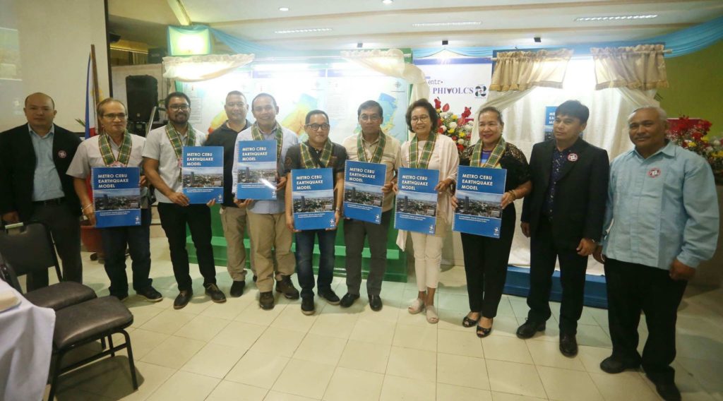
The Department of Science and Technology (DOST) and Philippine Institute of Volcanology and Seismology (PHIVOLCS) launched an online map of earthquake-prone areas in Metro Cebu on Wednesday morning (July 4).
The government agencies introduced today the Metro Cebu Earthquake Model (MCEM), a series of maps that details the probable impact of earthquakes around Metro Cebu.
The online map, which is a seismic ground motion hazard assessment, can be used as a guide in the construction of earthquake-proof infrastructures.
The map can be accessed and downloaded from the website, wwww.phivolcs.dost.gov.ph. /Delta Dyrecka Letigio, USJ-R Journalism Intern
MOST READ
LATEST STORIES
Read more...