


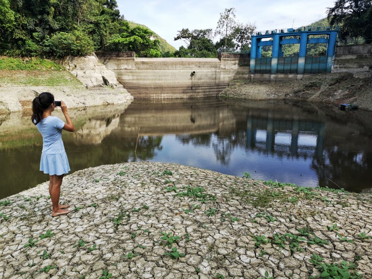
The expected rain from the coming low pressure area will hopefully replenish water at the Buhisan Dam. Water level in the dam went down by nine meters as of March 11. /CDN file photo
CEBU CITY, Philippines — An interlude to the El Niño heat may come earlier than expected, says the Philippine Atmospheric Geophysical and Astronomical Sciences Association in Central Visayas (Pagasa-7).
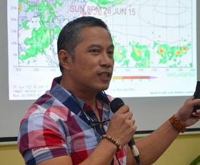
Engineer Al Quiblat, Pagasa-7 chief, said in a phone interview on Friday, March 15, that a low pressure area is located 2,000 kilometers east of Mindanao with maximum sustained winds of 45 kilometers per hour (km/h) and a gustiness of 60 km/hr.
The track of the LPA is expected to cross central and southern Mindanao, which will bring rain into the Visayas especially the southern areas.
Quiblat said that the rain would be very much needed to replenish the decreasing water source in the region as it might bring moderate to heavy rains.
Read more: Cebu farmers told: Prepare for El Niño
“Kini nga low pressure area pwede sad ni mahimong bagyo,” warned Quiblat.
(“This low pressure area might turn into a storm,” warned Quiblat.)
He said that they would continue to monitor the LPA in case it would stronger and move in an alarming rate.
If the LPA would move a bit north, this would bring more rain to the region, which, Quiblat said, might be beneficial to the farmlands that had begun to be affected by the drought.
Read more: Cebu heat spikes to 35.2 °C , highest in 20 years; El Niño projected to hit by end of 2018
The LPA will also help lower the temperature which has reached 32 degrees Celsius on Sunday, March 10, the hottest day of the year in the region so far recorded by Pagasa-7 .
“We really need the rain,” said Quiblat.
The LPA is expected to landfall in Mindanao on Sunday, March 17 and will leave the PAR on Tuesday, March 19. /dbs