
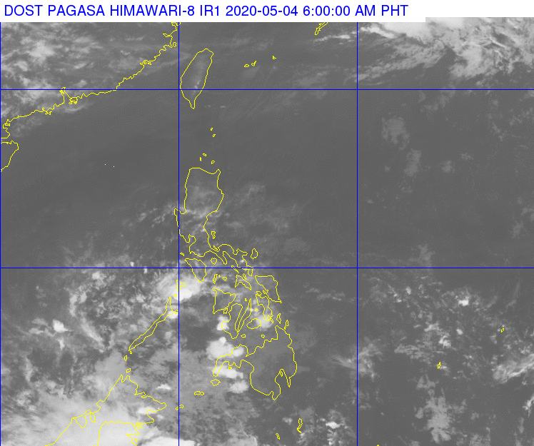
A satellite image of the Philippines at 6 a.m. today, May 4, 2020, and after the low pressure area (LPA) that hovered over Mindanao has dissipated. (Photo/DOST-Pagasa)
CEBU CITY, Philippines — The low pressure area (LPA) that brought rains over Visayas and Mindanao last weekend has completely dissipated past 2 a.m. on Monday, May 4, 2020.
But cloudy skies, scattered rainshowers, and thunderstorms, however, are still expected to continue due to the Intertropical Convergence Zone (ITCZ) affecting the Visayas-Mindanao regions.
READ: LPA to bring rains but low chance of developing into typhoon – Pagasa
In its 5 a.m. bulletin, the Philippine Atmospheric Geophysical and Astronomical Services Administration (Pagasa) said the ITCZ is affecting the entire Visayas, Zamboanga Peninsula, and Northern Mindanao.
Pagasa said the ITCZ still carries moderate to occasionally heavy rains in the Visayas-Mindanao regions which pose the threat of landslides and flash floods in high-risk areas such as the uplands and low-lying grounds or those near riverbanks.
In Metro Cebu, the temperatures may range between 25 to 30 degrees Celsius with cloudy skies.
The sea conditions, however, have already improved to slight to moderate from moderate to rough seas on Sunday. / dcb