
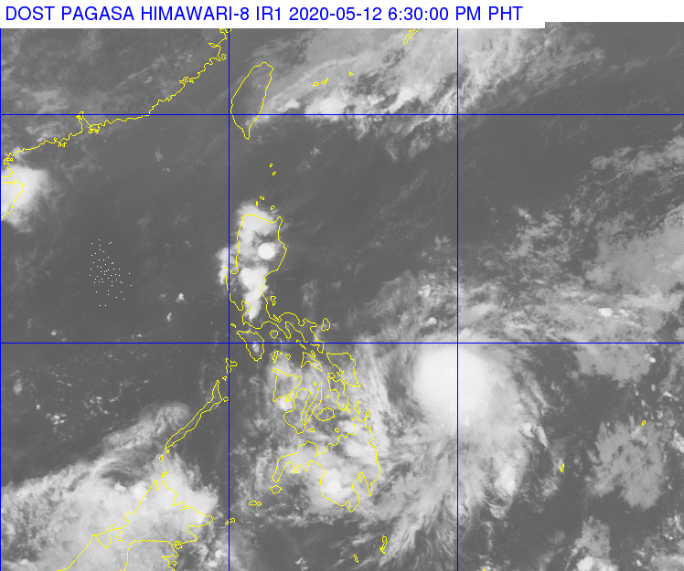
SATELLITE image of the Philippine Area of Responsibility as of 6:30 p.m. while TD Ambo remains at sea east of Mindanao. (DOST-Pagasa)
CEBU CITY, Philippines — The trough of Tropical Depression Ambo has started to bring scattered rains in parts of Eastern Visayas Tuesday afternoon, May 12, 2020, as the weather disturbance inch towards the region.
TD Ambo remains at sea some 410 kilometers east of Surigao City while maintaining a maximum sustained winds of up to 55 kilometers per hour and gustiness of 70 kph as it slowly moves northeast.
In its virtual presser at 6 p.m. this afternoon, Pagasa said Ambo may intensify into a tropical storm in the next hours and a tropical cyclone wind signal (TCWS) may be hoisted over parts of Eastern Visayas.
READ: Storm warning signals may be raised in Eastern Visayas on Tuesday – Pagasa
Pagasa forecasts that Ambo will already be a tropical storm still at sea some 305 kilometers east of Borongan City in Eastern Samar by 2 p.m. on Wednesday, May 13.
“Ina-anticipate natin na nag-iipon pa rin ito ng lakas habang nasa karagatan,” Pagasa Weather Specialist Loriedin Dela Cruz said.
(We are anticipating that it is still gathering strength while at sea.)
Moderate to strong winds and coastal waters that may reach as high as 2.6 meters.
The weather bureau warned high-risk areas such as coastal communities, low-lying grounds and uplands to be vigilant for possible rain-induced flash floods and landslides.
Ambo may further intensify into a severe tropical storm which may carry a maximum sustained winds of up to 117 kph.

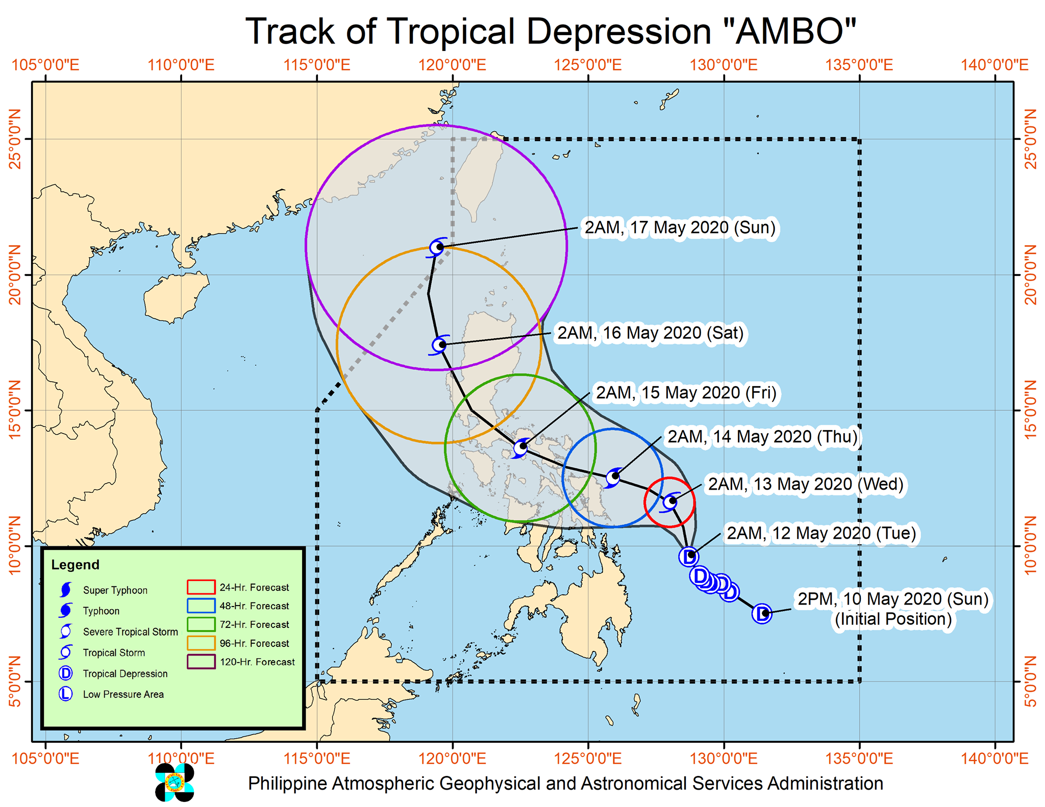
TD Ambo forecast track as of May 12, 2020
The center of Ambo is expected to approach Northern Samar landmass and bring widespread rains in the Visayas by Thursday, May 14.
Based on Pagasa’s updated forecast track, Ambo will mostly affect areas in Eastern Visayas and Luzon. The weather bureau earlier said Ambo may make landfall while crossing Bicol Region on Thursday afternoon or evening.