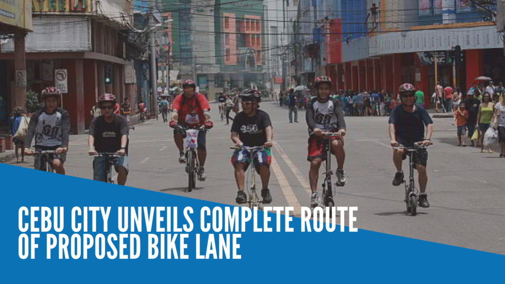
CEBU CITY, Philippines — The Cebu City government on Friday, September 4, 2020 unveiled the complete route of its proposal to establish bike lanes within the city.
The city’s public information office (PIO) published a ‘simulation’ video utilizing Google Earth, showing the names of streets and roads where they will be implementing the cycle routes.
The simulation video, which spanned up to nearly four minutes, showed an aerial perspective of the entire route that formed a loop connecting the southern and northern territories of Cebu City.
It started at the intersection of D. Jakosalem Street and Magallanes Street near Cebu City Hall.
Cebu City’s PIO said the executive department will be submitting the route proposal before the city council soon.
The streets and landmarks mentioned in the video included M.J. Cuenco Avenue, F. Gochan Street in Barangay Mabolo, Cardinal Rosales Avenue, Gen. Maxilom Avenue, Fuente Osmeña Circle, B. Rodriguez Street, V. Rama Avenue, Salvador Street, Tres De Abril Street in Barangay Labangon, Carlock Street in Barangay San Nicolas, Spolarium Street in Barangay Pasil, and then back to Magallanes Street before shortly returning to D. Jakosalem Street facing city hall.
See the full video from Cebu City PIO below:
Due to limited public transportation, Cebu City residents have been clamoring for safe spaces where they can pedal their way to work or to the nearest shop.
Last June, Cebu City Mayor Edgardo Labella vowed that the city government will be implementing the cycle routes – a project that has been constantly pushed in the past but was never been fully implemented. /dbs
RELATED SOTRY: Bike lane’s route in Cebu City goes on a ‘loop’
