
earth.nullschool.net
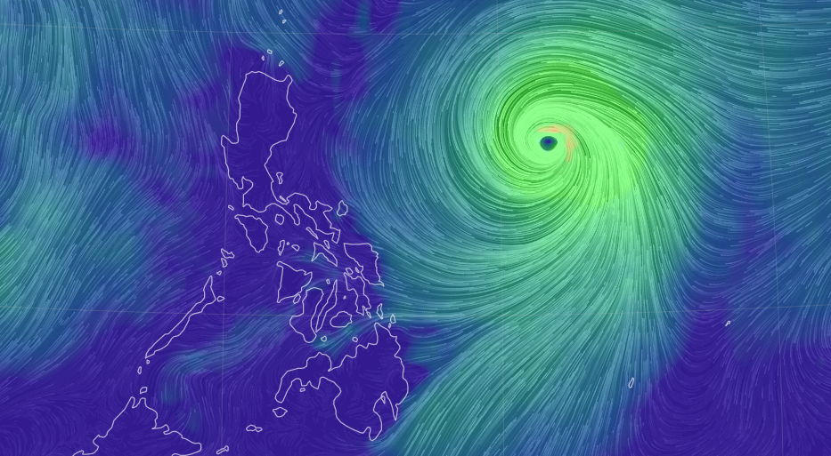
Severe Tropical Storm #ChedengPH (international name: GUCHOL) has maintained its strength while over the Philippine Sea, according to the 5 a.m. bulletin of Pagasa on Thursday, June 8, 2023.
The center of the severe tropical storm is estimated, based on all available data, to be 1,090 kilometers east of Central Luzon.
READ: Tropical Storm Chedeng – live updates
It brings maximum sustained winds of 95 kilometers per hour (km/h) near the center, gustiness of up to 115 km/h, and central pressure of 992 hPa
It is moving west northwestward at 10 km/h.
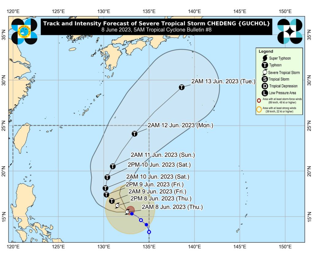

Strong to gale-force winds extend outwards up to 350 km from the center
According to Pagasa, Chedeng is unlikely to directly bring heavy rainfall over any portion of the country in the next 3 to 5 days.
But the current forecast scenario for this tropical cyclone may result in the enhancement of the Southwest Monsoon, the timing and intensity of monsoon rains over the country (especially in the western portion) may still change due to the dependence of monsoon enhancement on the forecast movement and intensity of Chedeng as well as its interaction with the other weather systems surrounding it, Pagasa added in its bulletin.
/bmjo