
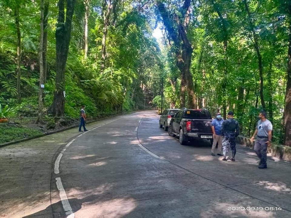
A forest-covered area in Barangays Campo 7 and 8 of Minglanilla, Cebu, was cleared from public after reports of crowding in the area last week. | Photo from CPPO
CEBU CITY, Philippines — For the past two decades, deforestation in Cebu had resulted in the loss of thousands of hectares of tree cover equivalent to the land area of Bantayan Island.
Data from the Global Forest Watch (GFW) showed that the island province, including its capital Cebu City, lost a total of 10.1 kilo-hectare (kha) of tree cover, by percent canopy cover of less than 30 percent, from 2001 to 2022.
This can be translated to around 10,100 hectares of relative tree cover.
In comparison, 10,100 hectares is equivalent to 100 square kilometers, which is roughly the total land area of Bantayan Island.
What is canopy cover?
Canopy cover, as defined by the United States’ Department of Agriculture Forest Service, is the ‘proportion of the forest floor covered by the vertical projection of the tree crowns.’
GFW is an online open-access platform that offers real-time forestry information and other data about forests around the world.
READ MORE
Poro parish church urges gov’t: Don’t chop down our trees
‘Save Poro’s trees’: Parish church widens calls vs tree-cutting
In their dataset, they define ‘tree cover’ as ‘all vegetation greater than five meters in height and may take the form of natural forests or plantations across a range of canopy densities.’
‘Loss’, on the other hand, refers to removal of tree cover due to various reasons which are not only limited to deforestation as it includes mechanical harvesting, fire, disease, or storm damage.
Forest cover in Cebu over the years
The entire Cebu, as of 2023, had approximately 97 kha of natural forest. But that same year, according to Global Forest Watch, it lost a total of 74 hectares of tree cover.

The island province, home to over 5 million individuals, also saw a decline in the tree cover in the past two decades, at a rate of -1.59 percent.
This means that Cebu saw more losses in terms of tree cover than gaining new ones. The highest tree cover loss here was recorded in 2009, with more than 1,500 hectares.
Areas with heavy tree loss
The same data from GFW showed that the areas in Cebu that suffered the most tree cover loss in the past two decades belonged to the Central Cebu Protected Landscape (CCPL).
Asturias in the northwestern side had the most tree cover loss, where forestry and environment experts noted that municipality lost over 1,100 hectares of tree cover.

It was followed by its neighbor Balamban with 659 hectares of tree cover loss. The capital Cebu City came in third, losing at least 617 hectares of tree cover between the years 2001 and 2022.
Tuburan and Toledo City also saw hundreds of hectares of tree cover loss in the past 20 years, at 593 hectares and 497 hectares respectively.
The Central Cebu Protected Landscape
The towns of Asturias, Tuburan, Balamban and the cities of Toledo and Cebu are just some of the localities with portions of their territories belonging to the Central Cebu Protected Landscape (CCPL).

Spanning an estimated 30,000 hectares, the protected area, situated in the middle of the island province, is home to crucial forestlands and watersheds.
READ MORE: Cebu City planners call for stricter building rules in protected areas
It also encompassed nine areas, including the capital Cebu City. Others included the cities of Talisay, Danao and the municipalities of Minglanilla, Consolacion, Liloan and Compostela.
Recently, the City Planning and Development Office (CPDO) of Cebu City pushed to ban development and building of structures in the upland areas, particularly those near and inside the CCPL in the hopes of avoiding further deforestation in Cebu.