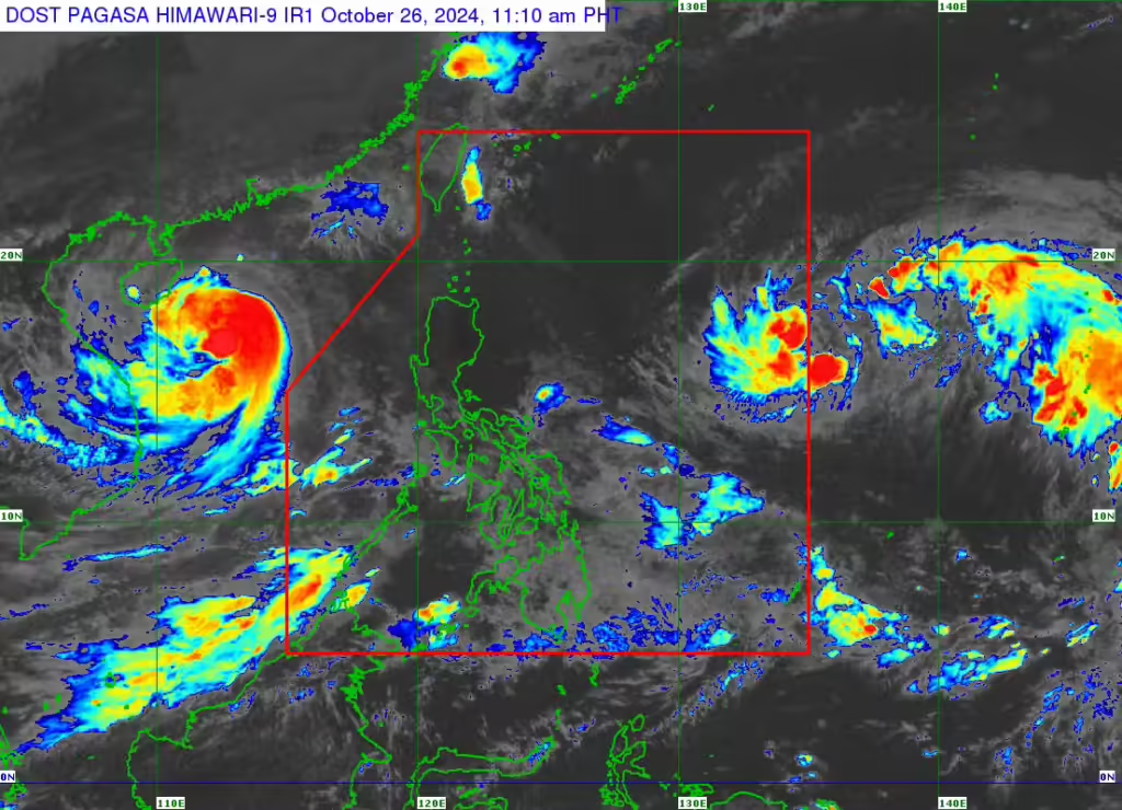
Tropical Storm Kong-rey, which will be given the local name Leon once it enters the Philippine area of responsibility (PAR), increases speed while maintaining its strength as it continues its westward path on Saturday morning, October 26, 2024, according to the Philippine Atmospheric, Geophysical and Astronomical Services Administration (Pagasa). The storm may enter the PAR either on Saturday night or early Sunday morning (October 27), but it was predicted to be far from the Philippine landmass. Weather satellite image from Pagasa
MANILA, Philippines — Tropical Storm Kong-rey, to be named Leon once it enters the Philippine Area of Responsibility (PAR), has gained speed while keeping its strength as it moves westward.
The Philippine Atmospheric, Geophysical and Astronomical Services Administration (Pagasa) expects the storm to enter the PAR either Saturday night or early Sunday but predicts it will stay far from the Philippine landmass.
READ: Tropical storm Kong-rey outside PAR maintains strength
In its 11 a.m. bulletin, Pagasa said Tropical Storm Kong-rey was currently moving at a pace of 30 kilometers per hour (kph) westward – faster than the 25 kph it posted on Friday evening.
The tropical storm was located 1,630 kilometers east of Central Luzon as of 10 a.m. on Saturday, still packing maximum sustained winds of 65 kph near the center and gustiness of up to 80 kph.
Pagasa said this tropical storm may develop into a severe tropical storm by Sunday and further intensify into a typhoon by Monday, October 28.
