


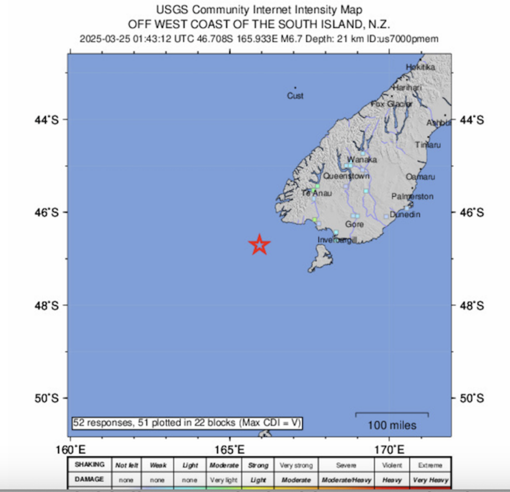
This is an Intensity map of the USGS on the earthquake south of New Zealand today, March 25. | SCREENSHOT OF USGS MAP
SYDNEY, Australia — A 6.8-magnitude earthquake struck off New Zealand’s South Island on Tuesday, the United States Geological Survey said.
The tremor — initially recorded with a magnitude of 7.0 — hit at 2:43 pm (0143 GMT) at a depth of 10 kilometres (6.2 miles) off the southwest tip of New Zealand’s South Island, according to the USGS.
It was centred around 160 kilometres (100 miles) from the nearest mainland settlement.
READ:
EXPLAINER: Earthquake terms you need to know
Earthquake: Cebuanos told to start preparing for it
Are you ready for an earthquake? Here’s how to be prepared
There was no tsunami warning or immediate reports of damage, according to the Honolulu-based Pacific Tsunami Warning Center.
New Zealand’s emergency management agency said it was “assessing whether the earthquake has created a tsunami that could affect New Zealand”.
“If a tsunami has been generated in this location it is not likely to arrive in New Zealand for at least one hour,” the agency said in a national advisory.
Ben Sievwright, manager of Ziff’s Cafe and Bar in Invercargill on the South Island, said he felt “a little sway”.
“Just a little wee shake, nothing too eventful,” he told AFP.
New Zealand straddles the boundary of two major tectonic plates and is rattled by thousands of small earthquakes every year.
A magnitude 6.3 earthquake levelled swathes of Christchurch in 2011, killing 185 people, according to government figures.