
MANILA, Philippines — A tropical storm spotted outside the Philippine area of responsibility, which was given the international name Mawar, may enter the country next week, the weather bureau said on Saturday.
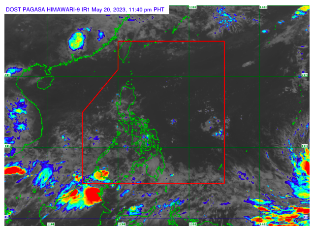
For now, the tropical storm has no direct effects yet on the country with the intertropical convergence zone (ITCZ) bringing rains in several parts of Mindanao, the Philippine Atmospheric, Geophysical and Astronomical Services Administration (Pagasa) reported.
As of 4 p.m., Pagasa weather specialist Rhea Torres said Mawar was spotted 2,525 kilometers east of northeastern Mindanao.
Mawar was still a tropical storm early Saturday, but the weather bureau said its movement in the northeastern direction could possibly enhance it into a tropical depression, or even as strong as a supertyphoon.
‘Almost stationary’
Torres said Mawar has maximum sustained winds of 65 kilometers per hour with gustiness of up to 80 kph. Its movement was “almost stationary,” she added. Mawar can possibly enter the country by either Friday or Saturday next week and will be given the local name “Betty,” she said.
According to Torres, the ITCZ remains to be the dominant weather condition in the country, bringing cloudy skies with scattered rainshowers and thunderstorms in Western Visayas, Zamboanga Peninsula, the Bangsamoro Autonomous Region in Muslim Mindanao, and Palawan.