
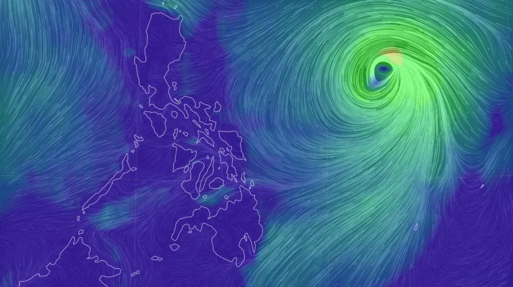
earth.nullschool.net
Chedeng is now a severe tropical storm, according to the 11 p.m. bulletin of Pagasa.
Severe tropical storm Chedeng, which has an international name Guchol, brings maximum sustained winds of 95 kilometer per hour (km/h) near the center, gustiness of up to 115 km/h, and central pressure of 992 hPa.
READ: Tropical Storm Chedeng – live updates
Pagasa said in its advisory that the storm “still does not directly affect the country as it intensifies into a severe tropical storm.”
The location of the center of the storm is at 1,220 kilometers east of southeastern Luzon.
Strong to gale-force winds extend outwards up to 350 kilometers from the center.
Chedeng is moving west northwestward at 10 km/h.
TROPICAL CYCLONE BULLETIN NO. 7
Severe Tropical Storm #ChedengPH (GUCHOL)
Issued at 11:00 PM, 07 June 2023
Valid for broadcast until the next bulletin at 5:00 AM tomorrow.
“CHEDENG” STILL DOES NOT DIRECTLY AFFECT THE COUNTRY AS IT INTENSIFIES INTO A SEVERE TROPICAL STORM pic.twitter.com/2b1J6rE5Lu
— PAGASA-DOST (@dost_pagasa) June 7, 2023
No Wind Signals was hoisted as of this posting.
Chedeng will remain far from the Philippine landmass, Pagasa said.
It is forecast to move generally west northwestward or northwestward tonight through mid-Friday before beginning to slow down while turning northward.
On Sunday, the storm will begin to accelerate north northeastward or northeastward.

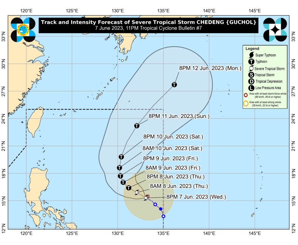
Chedeng’s track. | Pagasa
On the track forecast, this tropical cyclone will leave the Philippine Area of Responsibility (PAR) between late Sunday and early Monday.
“Owing to favorable environmental conditions, CHEDENG is forecast to intensify in the next 3 days and may be upgraded into a typhoon by tomorrow. Peak intensity may be reached by Friday or Saturday,” part of the bulletin read.