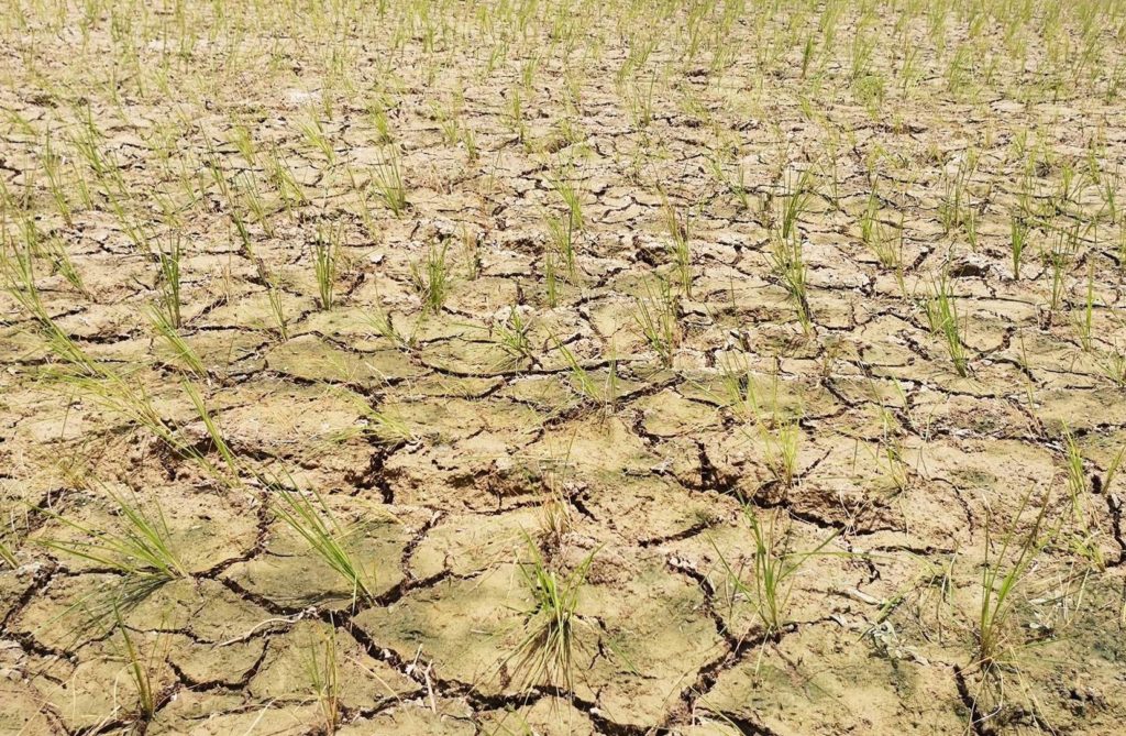
LONDON – El Nino has officially returned and is likely to yield extreme weather later this year, from tropical cyclones spinning toward vulnerable Pacific islands to heavy rainfall in South America to drought in Australia and in some parts of Asia.
After three years of the La Nina climate pattern, which often lowers global temperatures slightly, the hotter El Nino is back in action, according to an advisory issued on Thursday by the U.S. National Oceanic and Atmospheric Administration’s Climate Prediction Center.
READ MORE: Typhoon Chedeng – live updates
El Nino is born out of unusually warm waters in the Eastern Pacific [L8N37J2T2], near the coast of South America, and often accompanied by a slowing down or reversal of the easterly trade winds.
“In May, weak El Nino conditions emerged as above-average sea surface temperatures strengthened across the equatorial Pacific Ocean,” the advisory said.
The last time an El Nino was in place, in 2016, the world saw its hottest year on record. Coupled with warming from climate change, 2023 or 2024 could reach new highs.
DECLARING EL NINO
Most experts look to two agencies for confirmation that El Nino has kicked off — NOAA and Australia’s Bureau of Meteorology (BOM). The two agencies use different metrics for declaring El Nino, with the Australian definition slightly stricter.
NOAA calls an El Nino when ocean temperatures in the eastern and central equatorial Pacific, have been 0.5 Celsius (0.9 Fahrenheit) higher than normal for the preceding month, and has lasted or is expected to continue for another five consecutive, overlapping three-month periods. The agency also looks at a weakening of the trade winds and cloud cover.
Australia’s BOM needs things to be hotter, with the key regions of eastern Pacific 0.8C (1.5F) warmer than average.
On Tuesday, Australia issued their own bulletin, noting a 70% chance of El Nino developing this year.
NOAA said there is a 56% chance that when this El Nino peaks in strength – normally during the Northern Hemisphere winter – it will be a strong event, meaning that Eastern Pacific sea surface temperatures are at least 1.5C higher than normal.
This could yield more intense impacts – from drought to cyclones – across the world.
Still, impacts vary and El Ninos come in “two flavors”, said atmospheric scientist Marybeth Arcodia at Colorado State University.
Those with their warmest waters near the west coast of South America are deemed Eastern Pacific events, such as the strong 1997-98 El Nino. The other arises in the Central Pacific, near the equator around Hawaii, as was the case in the most recent 2015-16 event. Weather anomalies can be more extreme depending on where waters are warmest, making things drier or wetter in certain regions.
Some forecast models predict the 2023-24 winter to be a Central Pacific El Nino.
AGRICULTURE IMPACTS
Early signs of hot, dry weather caused by El Nino are threatening food producers across Asia, while American growers are counting on heavier summer rains from the weather phenomenon to alleviate the impact of severe drought.
Futures of sugar and coffee rose sharply on Thursday after the release of the report.
Experts say that a strong El Nino could hit sugar production in India and Thailand, and possibly disrupt the sugarcane harvest in Brazil. They also see risks for coffee production in Vietnam, the world’s second-largest producer.
“(The report) is definitely a factor on coffee’s jump today,” said a New York-based coffee broker.
“This news will probably make buyers who were still waiting for lower prices very nervous,” a U.S. sugar trader said.
The El Nino could lead to winter crop production falling 34% from record highs in Australia, and also impacting palm oil and rice production in Indonesia, Malaysia – which supply 80% of the world’s palm oil – and Thailand.
In India, a country that largely depends on the monsoon rains for its summer crop, impacts from El Nino could be offset by the Indian Ocean Dipole, or the Indian Nino, yet below normal rainfall was expected over north-western parts of the country.
