
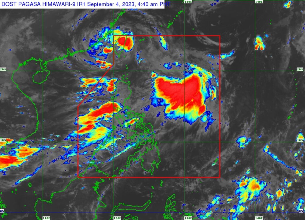
Pagasa satellite image
Typhoon Hanna (international name Haikui) is behaving eratically off the coast of southwestern Taiwan as it makes landfall in Kaohsiung City on Monday morning, September 4, 2023, Pagasa said in its 5 a.m. bulletin.
The state weather bureau said the center of the eye of Typhoon Hanna was estimated at 265 kilometers northwest of Itbayat, Batanes or in the vicinity of Kaohsiung City, Taiwan at 4 a.m.
It has maximum sustained winds of 120 km/h near the center, gustiness of up to 165 km/h, and central pressure of 975 hPa.
Hanna is moving south southwestward slowly, the Pagasa bulletin said.
Strong to typhoon-force winds extend outwards up to 500 km from the center of the typhoon.
Signal no. 1 is in effect in Batanes.
Pagasa also said the southwest monsoon currently enhanced by Hanna will bring occasional to monsoon rains over the western portion of Luzon and Antique in the next three days.
The enhanced southwest monsoon is expected to bring gusty conditions over the following areas not under any Wind Signal, especially in coastal and upland/mountainous areas exposed to winds:
(Monday) Batanes, Babuyan Islands, Ilocos Region, Cordillera Administrative Region, Nueva Vizcaya, the southern portion of Aurora, Zambales, Bataan, Bulacan, Metro Manila, Occidental Mindoro, Romblon, Marinduque, the northern portion of Palawan including Calamian, Kalayaan, and Cuyo Islands, and most of CALABARZON, Bicol Region, and Western Visayas.
Due to its on-going erratic movement near the coast of Kaohsiung City, Taiwan, Typhoon HANNA is forecast to exit the PAR region within the next 6 to 12 hours.
/bmjo