

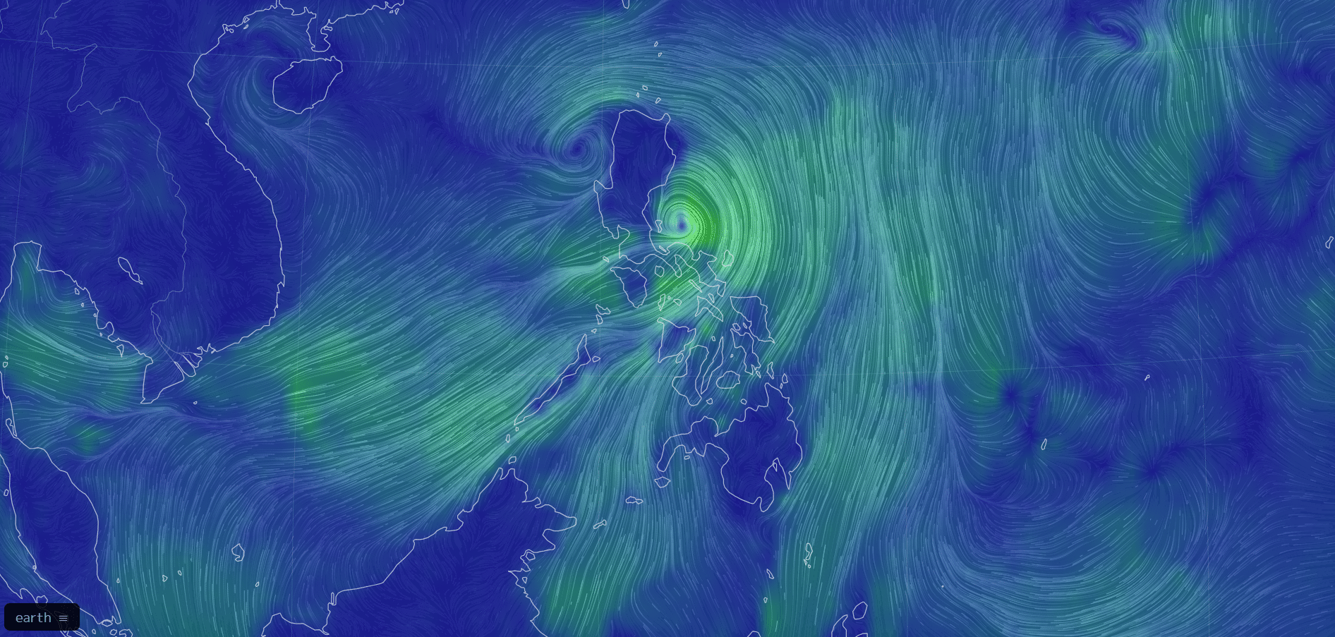
Tropical Storm Enteng | photo via earth.nullschool.net
MANILA, Philippines — Tropical Storm Enteng could make landfall in Cagayan and Isabela on Monday, according to state meteorologists.
As of 8:00 a.m., the storm was located 100 kilometers north-northwest of Daet, Camarines Norte, moving west-northwest at 15 kilometers per hour (kph).
It is packing maximum sustained winds of 75 kph and gustiness of up to 90 kph, according to Philippine Atmospheric, Geophysical and Astronomical Services Administration (Pagasa).
READ MORE:
LIVE UPDATES: Tropical Storm Enteng
“Enteng may possibly (sic) make landfall over Isabela or Cagayan this afternoon or tonight,” the Pagasa said in its 8:00 a.m. update.
Possible landfall over Aurora and Babuyan Islands is not ruled out, should Enteng change direction.
Also, Pagasa said increased rainfall may be seen in Luzon due to the developing ridge of high pressure.
Article continues after this advertisement
Meanwhile, Tropical Cyclone Wind Signal (TCWS) No. 2 is raised in nine areas in Luzon, where winds of greater than 62 kph and up to 88 kph may be expected in at least 24 hours, causing minor to moderate impacts to life and property.
Areas under Storm Signal Number 2:
The northeastern portion of Camarines Norte (Vinzons, San Lorenzo Ruiz, Talisay, Daet, Labo, Paracale, Jose Panganiban, San Vicente, Basud, Mercedes, Santa Elena, Capalonga)
The northeastern portion of Camarines Sur (Garchitorena, Caramoan, Presentacion, San Jose, Lagonoy, Tinambac, Siruma, Goa)
Cagayan (Pe, Gonzaga, Santa Teresita, Buguey, Lal-Lo, Gattaran, Baggao, Santa Ana, Lasam, Santo Nino, Alcala, Amulung, Solana, Iguig, Tuguegarao City, Enrile, Aparri, Ballesteros, Camalaniugan, Allacapan, Piat, Tuao, Rizal, Abulug, Pamplona) including Babuyan Islands
Eastern portion of Isabela (Santa Maria, Santo Tomas, Cabagan, Delfin Albano, Quirino, Gamu, Burgos, Luna, Reina Mercedes, City of Cauayan, Alicia, Echague, Jones, San Agustin, Angadanan, San Guillermo, San Pablo, Maconacon, Tumauini, Ilagan City, Palanan, Divilacan, San Mariano, Naguilian, Benito Soliven, Dinapigue, Cabatuan, Aurora, San Manuel, Mallig, Quezon, Roxas)
The northern portion of Aurora (Casiguran, Dilasag, Dinalungan)
Polillo Islands
Eastern portion of Quirino (Maddela)
Northern portion of Apayao (Luna, Santa Marcela, Flora, Pudtol, Calanasan)
Eastern portion of Kalinga (Rizal)
Metro Manila and 27 other areas are also under TCWS No. 1, expecting 39 to 61 kph wind speed, which causes minimal to minor threat to life and property.
Here are the areas under Storm Signal Number 1:
Batanes
Ilocos Norte
Ilocos Sur
Eastern portion of Pangasinan (Rosales, Asingan, Binalonan, Sison, San Manuel, Santa Maria, Balungao, San Quintin, Tayug, Umingan, Natividad, San Nicolas)
Abra
The rest of Apayao
The rest of Kalinga
Mountain Province
Ifugao
Benguet
The rest of Isabela
The rest of Quirino
Nueva Vizcaya
The rest of Aurora
Nueva Ecija
The eastern portion of Pampanga (Candaba)
The eastern portion of Bulacan (Doña Remedios Trinidad, Norzagaray, City of San Jose del Monte, Obando, City of Meycauayan, Bocaue, Balagtas, Bustos, Baliuag, Pandi, Santa Maria, Marilao, Angat, San Rafael, San Ildefonso, San Miguel)
Metro Manila
Rizal
Laguna
Eastern portion of Batangas (San Juan)
The rest of Quezon
Marinduque
The rest of Camarines Sur
Albay
Sorsogon
Catanduanes
The northern portion of Masbate (City of Masbate, Aroroy, Baleno) incuding Ticao and Burias Islands
READ: LIST: Areas with class suspension on Sept. 2 due to TS Enteng