
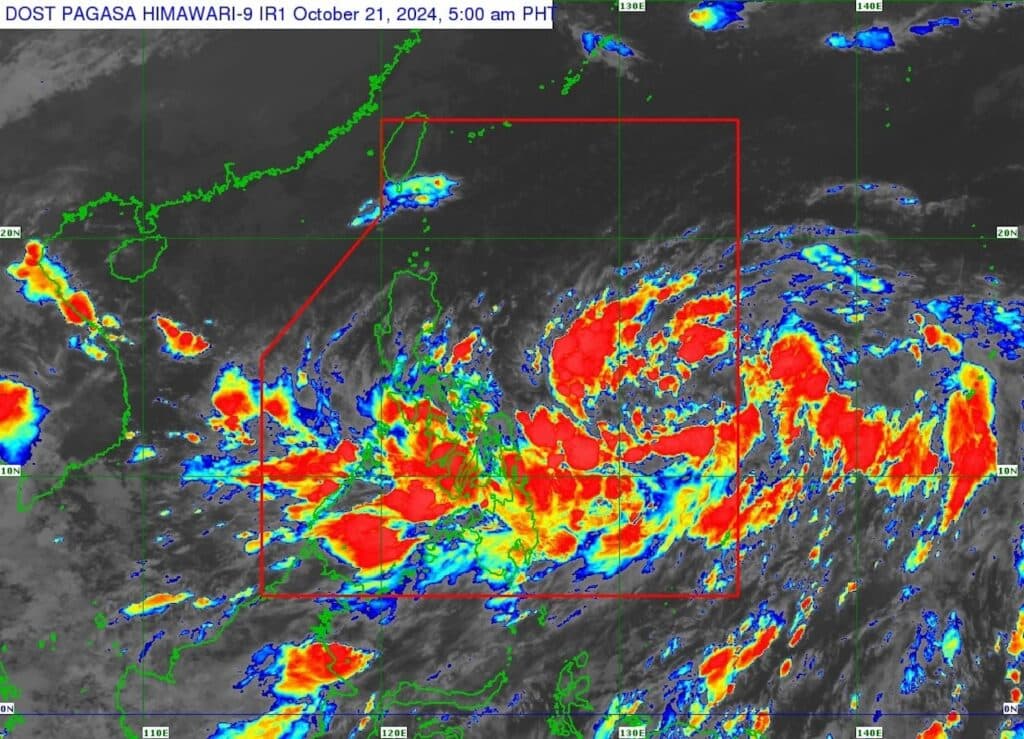


Satellite image of Tropical Depression Kristine as of 4 a.m. on October 21, 2024. | Photo from DOST-Pagasa
CEBU CITY, Philippines – Tropical Depression Kristine may not directly hit Cebu but it will bring rains here until Wednesday, October 23, the state weather bureau said.
The Mactan station of the Philippine Atmospheric Geophysical and Astronomical Services Administration (Pagasa) forecasted that the entire Cebu would experience wet weather beginning Monday, October 21 until Wednesday.
This is due to the trough or extensions of Kristine, they added.
READ MORE
EXPLAINER: What do color-coded rainfall warnings mean?
Pagasa: Tropical Depression Kristine enters PAR
“Sa Cebu, atong masinati nga paguwan tungod ni sa trough or extension or hungaw ni Bagyong Kristine nga maoy nakacause og paguwan,” said Jhomer Eclarino, weather specialist at Pagasa-Mactan.
(In Cebu, we will experience rains because of the trough or extension or effect of the Tropical Depression Kristine that is the cause of the rains.)
The effects of the tropical depression will also likely bring occasional heavy rains, prompting Pagasa-Mactan to warn residents living in flood-prone and landslide-prone areas to stay alert.
“Expected nato ang mga pag-uwan including na occassional heavy rains, so delikado ang flashflood and landslide,” Eclarino added.
(We are expecting rains including the occasional heavy rains, so there’s a danger of flashfloods and landslides.)
Tropical Depression Kristine
Kristine was last spotted at 1,050 km East of Southeastern Luzon as of 4 a.m. on Monday.
It packs wind with speeds of up to 55 kilometers per hour (kph) and gustiness reaching to 70 kph. It is moving at a speed of 30 kph at a west southwestward direction.
Pagasa has already hoisted storm signals in at least three areas in Luzon and Visayas.
Tropical Cyclone Warning Signal (TCWS) No. 1 has been raised over Catanduanes in Luzon, and the northeastern portion of Northern Samar (Laoang, Palapag, Mapanas, Gamay, Catubig, Lapinig), and the northeastern portion of Eastern Samar (Jipapad, Arteche, San Policarpo, Oras) in the Visayas.
State meteorologists also forecasted Kristine to intensify into a tropical storm in the next 12 hours, a severe tropical storm by Tuesday, October 22, and a typhoon by Thursday, October 24.
“Since this tropical cyclone is still over the Philippine Sea, further intensification is likely, given the favorable environmental conditions (high SST and low wind shear) for development over the area,” the latest severe weather bulletin said.
With these forecasts, the state weather bureau may also potentially issue gale warning advisories as they predict moderate to rough seas, with waves reaching to four meters in height, in several areas, including Central Visayas.
“Delikado atong mga sakyanang pandagat ug mga mananagat sa paglawig sa atong dagat,” said Eclarino.
(It will be dangerous for our sea vessels and fishermen to venture out to sea.)
In the meantime, Pagasa-Mactan urged the public to regularly monitor weather updates and stay vigilant amid the bad weather.