CDN Digital File Photo
CEBU CITY, Philippines — Don’t forget your umbrellas.
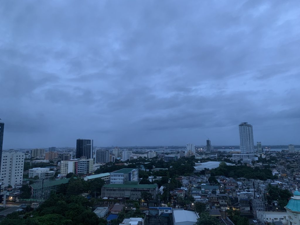
Jhomer Eclarino, weather specialist at Pagasa-Mactan, said Metro Cebu will have partly cloudy to cloudy skies with chances of localized thunderstorms from Saturday, August 13, until Monday, August 15, 2022.
Eclarino said that while they have not monitored any Low Pressure Area (LPA), Habagat remains to be the prevailing weather system affecting the Visayas and other parts of the country.
“So far, wala man tay gi-monitor nga Low Pressure Area in our area of responsibility. Kining Habagat or the Southwest Monsoon, kini ang nag prevail karon mostly sa western section ng Southern Luzon,” he said.
“Naa sad break (from the rain), pero mostly mag ulan siya, localized thunderstorms. This is one to two hours mag bring siya ng occasional heavy rains, mag cause gihapon ng mga flash floods and landslides,” he added.
Moreover, Eclarino said, the country is now experiencing “La Niña” which is seen to persist until February 2023.
“La Niña” is a weather phenomenon characterized by unusually cool ocean surface temperatures in the central and eastern equatorial Pacific.
The state weather bureau in Mactan, he said, logged 1.7 millimeters of rain or 8,500 drums of rain per square kilometer during the heavy downpour on Friday afternoon, August 12.
Eclarino said the amount of rainfall that we experienced during the first two weeks of August already exceeded the normal average rainfall for the month, which is 157.9 mm.
With this, the possibility of flooding and landslides can’t be avoided.
Eclarino is asking the public to take extra precaution as soil here is already saturated and to follow the safety recommendations of the local government units to avoid accidents.
