
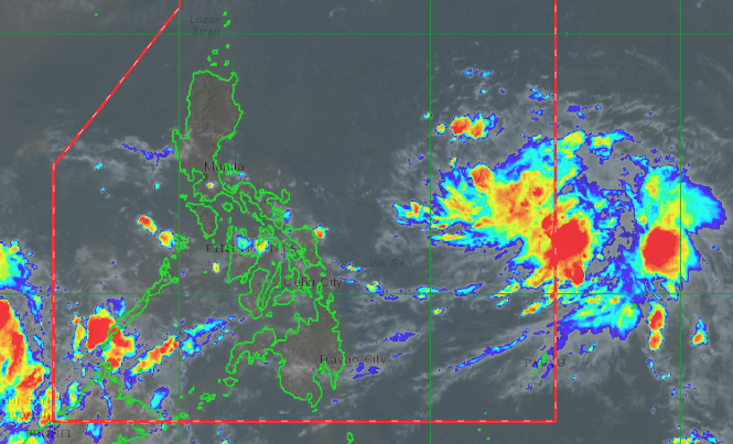
Pagasa satellite image
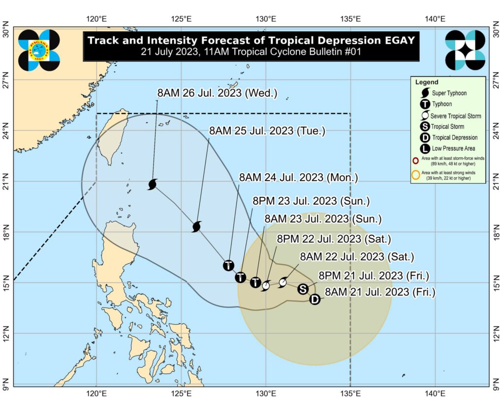
MANILA, Philippines — The low-pressure area (LPA) being monitored by the state weather bureau east of Southern Luzon has now developed into a tropical depression, locally named Egay, and may intensify into a supertyphoon.
The Philippine Atmospheric, Geophysical and Astronomical Services Administration (Pagasa) said in a Facebook post on Friday morning that the LPA intensified and became a cyclone at 8 a.m.
Based on the 11 am advisory of Pagasa, the center of TD Egay is estimated at 900 kilometers east of Southeastern Luzon.
It has maximum sustained winds of 55 km/h near the center, gustiness of up to 70 km/h, and central pressure of 1004 hPa
The advisory said TD Egay is forecast to intensify in the next 12 hours into a Tropical Storm.
For now, the tropical depression is slowly moving north northwestward, the bulletin said.
Strong winds extend outwards up to 550 km from the center.

TD Egay is the fifth tropical cyclone to hit the country in 2023 and the second in July.
Supertyphoon?
The previous TD was Dodong, which was experienced early July.
READ: Pagasa lifts all wind signals as Tropical Depression Dodong crosses West PH Sea
Throughout its duration in the PAR region, TD Egay may continue to steadily intensify and reach Super Typhoon category by late Monday or early Tuesday as it moves over the Philippine Sea east of Luzon.
READ MORE:
Pagasa: LPA off Eastern Samar may become Tropical Depression Egay in 24 to 48 hrs
Cebu weather: Cloudy with rain in the next five days