


PHOTO FROM DOST PAGASA
CEBU CITY, Philippines — The low-pressure area (LPA) recently monitored by the state weather bureau will have no direct impact on the country. That is according to a weather specialist here.
Jhomer Eclarino, weather specialist of the Philippine Atmospheric, Geophysical and Astronomical Services Administration in Mactan (Pagasa-Mactan), confirmed this to CDN Digital on Wednesday, August 7.
READ MORE:
Cloudy skies to bring rain to Metro Cebu until Thursday
Fair Friday weather with isolated rain showers
Cloud clusters outside PAR may become LPA, Pagasa
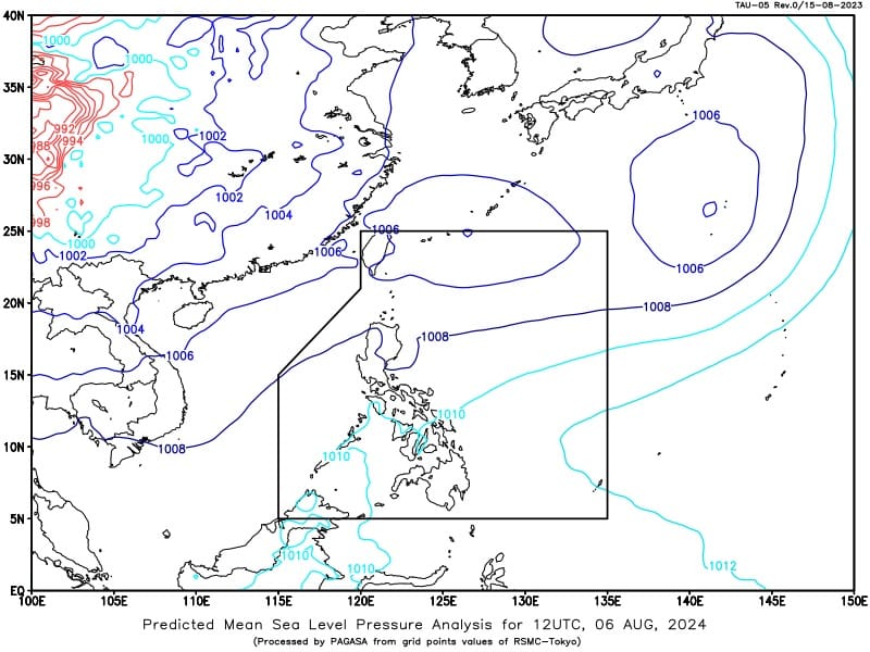
Eclarino said the LPA was last seen 575 kilometers Northeast of Itbayat, Batanes on Wednesday morning.
“Wala siyay direct effect or impact sa atong nasud,” he said.
(It has no direct effector impact in our country.)
Eclarino added it had a low chance to develop into a typhoon within 24 hours.
Until the weekend, Metro Cebu and the entire Central Visayas will experience “generally fair weather.” The scattered rain showers and localized thunderstorms will still be due to habagat or southwest monsoon.
Meanwhile, according to the weather forecast issued by Pagasa at 4 a.m. on Wednesday, the agency is also monitoring a tropical depression outside the Philippine Area of Responsibility (PAR).
READ MORE: Southwest monsoon to bring rain to 4 Luzon provinces Wednesday, Aug 7
“Mapapansin wala pang local name itong tropical depression dahil ito ay nasa labas ng PAR, wala rin itong international name dahil ang mga bagyo na nasa tropical storm category yung mga bagyo na binibigyan natin ng national names,” weather specialist Obet Badrina reported.
(You might have noticed that it still has no local name, this tropical depression, because it is still outside the PAR, it also has no international name because it is only those storms under the tropical storm category are the ones given national names by us.)
The TD was last located 2,055 kilometers east of northeast of extreme northern Luzon and it still has no direct impact to the country.
“Ang kanyang lakas ay nasa 55 kilometers per hour at ang pagbugso niya ay nasa 70 kilometers per hour. Halos stationary o hindi masyadong kumikilos itong bagyong ito pero inaasahan natin na sa mga susunod na araw ito’y kikilos patungo sa may bahagi naman ng bansang Japan,” Badrina added.
(Its strength is near 55 kilometers per hour ng its gusts is at 70 kilometers per hour. It is nearly stationary or this storm is not really moving but we see in the next days this will move towards part of Japan.)