
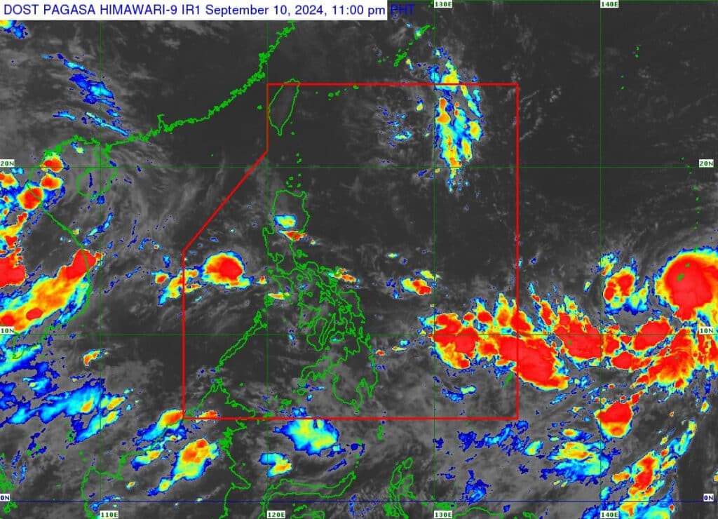
TS Bebinca as seen from this satellite image from Pagasa.
The tropical depression outside the Philippine Area of Responsibility (PAR) has intensified into tropical storm ‘Bebinca.’
This was announced in Pagasa’s Tropical Cyclone Advisory issued 11 p.m. on Tuesday, September 10, 2024.
The center of TS Bebinca as of 10 p.m. on Tuesday was estimated to be 2,105 kilometers east of Eastern Visayas, carrying maximum sustained winds of 65 km/h near the center, gustiness of up to 80 km/h, and central pressure of 998 hPa, Pagasa’s advisory said.
READ MORE:
Phivolcs warns of possible ‘eruptive unrest’ over Kanlaon
Tropical Storm Enteng: 10 confirmed dead – NDRRMC
TS Bebinca was moving northeastward at 20 kilometers per hour.

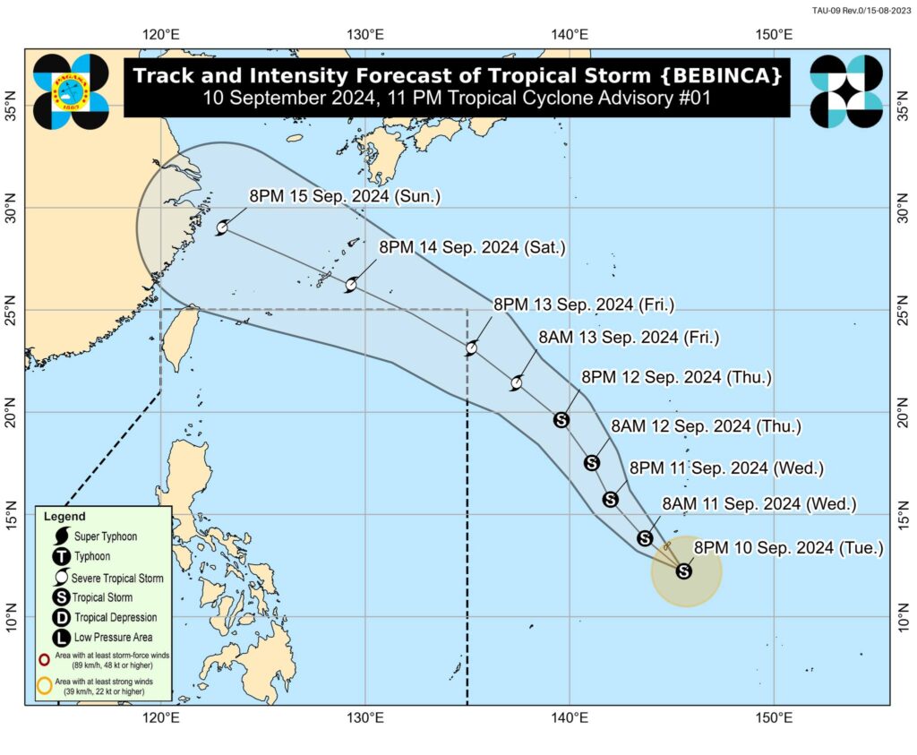
Image from Pagasa’s Facebook page
Strong to storm-force winds extend outwards up to 200 km from the center, the advisory added.
According to Pagasa, Bebinca is forecast to track generally northwestward through Friday evening, September 13.
A turn to the west northwest while accelerating is possible by Friday evening onwards as Bebinca approaches the northeastern boundary of the PAR.
Bebinca is expected to enter the PAR by Friday evening and exit PAR by Saturday, September 14.
Bebinca may intensify
Pagasa also said that Bebinca is forecast to intensify into severe tropical storm by Friday morning. The possibility of intensifying into a typhoon category is not ruled out, considering that the weather disturbance is still over the Pacific Ocean.

Current track scenario shows that BEBINCA will not directly affect any part of the country throughout the forecast period. However, it is expected to enhance the Southwest Monsoon, which will bring occasional rains over Visayas and Palawan, while scattered rainshowers and thunderstorms over Bicol Region, the rest of MIMAROPA, and Mindanao starting on Thursday, September 12, onwards.
However, Pagasa said the occasional rains scenario may still change depending on the track and intensity of Bebinca.