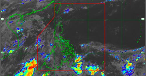

MANILA, Philippines—The low pressure area (LPA) being monitored east of Mindanao may enter the country’s Philippine Area of Responsibility (PAR) “within 24 hours,” the state weather bureau reported on Saturday.
The said LPA was spotted 1,110 kilometers east of Mindanao, according to Philippine Atmospheric Geophysical and Astronomical Services Administration (Pagasa).
Pagasa weather specialist Samuel Duran said the LPA has a low chance of developing into a typhoon.
“Sa ngayon po ay mababa pa naman ang tiyansa na mag-develop into tropical depression itong LPA at posibleng 24 hours ay pumasok na ito ng ating PAR,” Duran said in a public weather forecast.
(For now, the LPA has a low chance of developing into a tropical depression, and it will possibly enter PAR within 24 hours.)
The LPA is not affecting the weather condition in our country, but the Intertropical Convergence Zone (ITCZ) will bring cloudy skies with scattered rain showers and thunderstorms in Northern Mindanao, Caraga and Davao region, according to Pagasa’s latest bulletin.
Metro Manila and the rest of the country will experience fair weather with partly cloudy to cloudy skies with isolated rain showers and thunderstorms.
Pagasa did not raise gale warning in any seaboards nationwide.
RELATED STORIES
Pagasa: LPA, formerly ‘Agaton,’ dissipates
LPA outside PAR now a tropical depression; wet, cloudy Thursday seen — Pagasa