Wet Christmas likely in Cebu with approaching storm
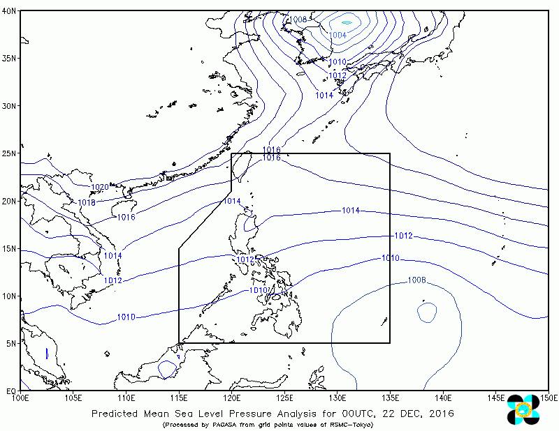
(PHOTO FROM DOST-PAGASA FB PAGE)
It might just be a wet Christmas for Cebu as tropical cyclone is expected to enter the Philippine Area of Responsibility (PAR) either on Thursday night or Friday morning.
The storm will be named Nina once it gets into the PAR. It is spotted at 1,485 kilometers east of Mindanao with maximum wind of 65 kilometers per hour and gustiness of 80 kilometers per hour.
Jomer Eclarino, weather specialist of Philippine Atmospheric, Geophysical and Astronomical Services (Pagasa) based on Mactan Island in Cebu, said Nina might intensify into a severe tropical storm with a maximum sustained winds of 89 kph to 117kph.
“Our initial forecast is that its landfall and track will be either in Bicol region or Samar province,” he said.
Northern Cebu might be affected and included in the public storm warning signal since it is near the Bicol and Eastern Visayas regions.
Nina is expected to exit PAR on Monday evening or Tuesday morning.
Disclaimer: The comments uploaded on this site do not necessarily represent or reflect the views of management and owner of Cebudailynews. We reserve the right to exclude comments that we deem to be inconsistent with our editorial standards.