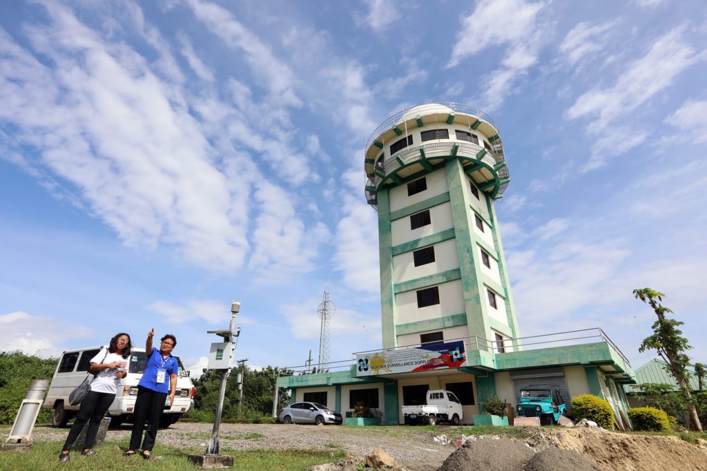
Weather specialists from the Pagasa Visayas office located in Lapu-Lapu City continue to monitor the track of Tropical Depression Chedeng after it entered the Philippine Area of Responsibility this afternoon./CDN file photo
CEBU CITY, Philippines–Tropical depression (TD) Chedeng entered the Philippine Area of Responsibility (PAR) this afternoon, March 17.
Engineer Al Quiblat, head of the Pagasa Visayas office, said that TD Chedeng is expected to bring light to moderate rains in the southern parts of the Visayas as it moves across Mindanao area.
If Chedeng alters its course and slightly move northwards, parts of southern Visayas may experience heavy rainfall, he said.
Still, Quiblat said that the rains that Chedeng will bring is a welcome development because this can replenish the groundwater supply in the region.
In its 1 p.m. advisory, the Philippine Atmospheric Geophysical and Astronomical Services Administration (Pagasa) warned small sea crafts against going out to sea. The advisory said that moderate to rough seas will persist over the eastern seaboard of the Visayas and Mindanao areas on Monday and Tuesday.
Pagasa also asked the public and the Disaster Risk Reduction and Management Offices in the Visayas and Mindanao to continue to monitor developments of the tropical depression and to prepare for the possibility of flooding and landslide.
TD Chedeng was moving at a speed of 25 kilometer per hour (kmph) and was spotted at around 980 kilometers east of Mindanao as it entered PAR today.
The Pagasa advisory said that TD Chedeng was moving westward near Palau in Indonesia with a maximum sustained winds of 45 kmph near the center and gustiness of 60 kmph.
Chedeng is expected to make a landfall in the eastern coast of Davao Oriental on Monday evening, March 18. It is expected to bring widespread moderate to heavy rains all over Davao Oriental and Surigao del Sur on the same day and in other parts of Mindanao on Tuesday, March 19. /dcb
Disclaimer: The comments uploaded on this site do not necessarily represent or reflect the views of management and owner of Cebudailynews. We reserve the right to exclude comments that we deem to be inconsistent with our editorial standards.
