Landslides continue as fault line remains unstable
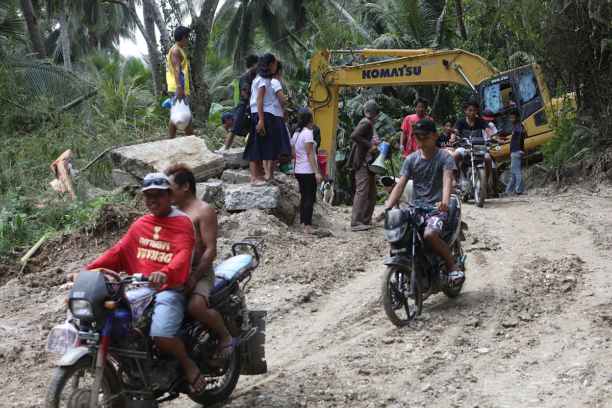
Officials of Barangay Lower Becerril warn residents against returning to their homes as the earth continues to move, causing recurrent landslides. CDN PHOTO/TONEE DESPOJO
LOWER Becerril, Boljoon
THE fault line in Boljoon town, which began moving on Friday, remains unstable.
The continued movement of land has created another natural dam blocking the flow of the Lusopan River in Barangay Lower Becerril, six days after the river was first blocked by uprooted trees and fallen boulders.
Last Friday, a landslide, triggered by the active fault line, uprooted trees and caused a deluge of huge boulders on a portion of Lusopan River, which prevented its waters from flowing straight into the sea.
The Municipal Disaster Risk Reduction and Management Office (MDRRMO) of Boljoon, a fifth-class municipality located more than 105 kilometers southeast of Cebu City, said that the second dam on Lusopan River is located 500 meters south of the first dam, and has a depth of six to eight meters.
MDRRMO acting chief Eutemio Ternate told Cebu Daily News in a phone interview that they discovered the natural dam yesterday dawn as they were monitoring the series of landslide in three sitios of Barangay Lower Becerril — Calfranco, Sangi and Upper Cansiloy — which are still occurring in the area.
“The fault line remains unstable, and there are still landslides happening. Changes in the topography too. It’s very fortunate that the area is now cleared of people. The houses of the residents are still there but all of them are now empty,” Ternate said.
He said at least 80 families residing in the banks of Lusopan River were alerted by barangay officials of Lower Becerril and the disaster rescue team to prepare should evacuation be necessary.
“We already alerted the families living in the riverbanks about this. We are also urging them to keep watch of any signs that will foretell any possibility of the two dams about to break, and report them to us immediately,” Ternate said.
The second dam blocking the flow of the Lusopan River has posed an additional problem for the MDRRMO as they still have not been able to release all of the water impounded at the first dam.
Ternate said they have only managed to discharge a depth of five meters of impounded water in the first dam since Tuesday evening while efforts at widening its riverbank to spread pressure equally and prevent the dam from breaking are still being done.
As of yesterday, the depth of the first dam decreased from 40 feet (12 meters) on Friday to around 20 feet (7 meters).
“Our heavy equipment is still working to discharge the water in the first dam then here comes another dam. We are now really concerned since it’s additional work for our part,” Ternate explained.
He said they are asking for additional help from the Provincial Disaster Risk Reduction and Management Office (PDRRMO), which earlier provided two backhoes to remove the debris which formed the first dam and widen the riverbank.
Since Monday morning, more than 300 individuals in Sitios Calfranco, Sangi and Upper Cansiloy voluntarily abandoned their homes to seek safer areas in other barangays. The active fault line has moved and changed the topography of around seven to eight hectares of land, said Ternate.
Sitio Calfranco, now a ghost town, is the most devastated area. All its 200 residents left their homes for fear of being buried alive by the recurring landslides in their village.
Meanwhile, geologists from the Mines and Geosciences Bureau (MGB) of the Department of Environment and Natural Resources in Central Visayas (DENR- 7) are still gathering information in the area to come up with a recommendation which in turn will serve as basis for local disaster officials to propose the declaration of the three affected sitios as danger zones, and unfit for occupancy.
The fault line in Boljoon is one of the three major land fractures in Cebu. The other two are located in the southwestern and central portions of the island.
The three fault lines, which were earlier identified by the Philippine Institute of Volcanology and Seismology (Phivolcs), cut across a total of 17 towns and cities in Cebu. /Correspondent
Disclaimer: The comments uploaded on this site do not necessarily represent or reflect the views of management and owner of Cebudailynews. We reserve the right to exclude comments that we deem to be inconsistent with our editorial standards.