Typhoon ‘likely’ to enter PAR next week – Pagasa
CEBU CITY, Philippines – A typhoon is “likely” to enter the Philippine Area of Responsibility (PAR) next week, from November 15 to 21, Pagasa said in its latest forecast.
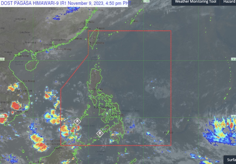
Engineer Al Quiblat, chief of the Philippine Atmospheric, Geophysical and Astronomical Services Administration Mactan (Pagasa-Mactan) said that they cannot determine yet if the weather disturbance will impact Metro Cebu until it enters the PAR.
“Anha na maklaro-klaro ang formation inig sulod na ana sa PAR. Naa tay forecast model na naay possible na maumol nga bagyo next week,” Quiblat told CDN Digital on Thursday, November 9.
Quiblat also added that they would release a tropical cyclone track to inform the public about the possible direction and landfall of the typhoon once it enters the PAR, ensuring that the people would be well-informed and prepared for any potential effects.
READ: Yolanda, 10 years after: How displaced Daanbantayan residents mark ‘fateful day’
Moreover, Quiblat said that if a typhoon enters PAR in November, there is a 60-70 percent probability that it will make landfall in the Visayas region.
“Pero dili ta magpanic kay wala paman tay information nga ari mo kuan [landfall] sa Cebu. Naa ratay forecast sa 2 weeks nga naay posibleng bagyo next week,” Quiblat said.
Generally fair weather in next 5 days
Meanwhile, despite the threat of a typhoon, Metro Cebu can expect generally fair weather with chances of passing rain showers in the next five days.
Quiblat said that even during fair weather conditions, the easterlies or the warm winds blowing from the east could still cause scattered rain showers and hot temperatures, especially in Central Visayas.
It would be sunny during the daytime, and rainy during the late afternoon to evening, associated with light to severe localized thunderstorms, the weather bureau said.
READ: What’s the status of the Yolanda housing projects in Cebu?
Additionally, the heat index during this month may range from 39 to 40 degrees Celsius, making it uncomfortably hot and humid.
“Mag amping sa init na panahon. Mag amping sa pag ulan. So mugawas man gani pagdala ug payong during sa alas 10 to alas 3 dili ta mo continue underneath the sun kay ang atoang temperatura musugod man ug rise sa alas 10 sa buntag, ug sa 1-3 pm naa diha ang pinaka taas nga heat index,” Quiblat advised.
“Inom daghan tubig ug suot ug light sinina aron maprotektahan ang kaugalingon sa heat stroke, mga uban pang epekto sa adlaw,” he added.
Last Nov. 8 was the 10th anniversary of super typhoon Yolanda.
RELATED STORIES:
A decade later, ‘moving on’ still hard for Yolanda survivors
Super Typhoon Odette: Silver linings from a calamity
The burden that a husband and father has to carry for losing his wife, daughters to Odette
Disclaimer: The comments uploaded on this site do not necessarily represent or reflect the views of management and owner of Cebudailynews. We reserve the right to exclude comments that we deem to be inconsistent with our editorial standards.