Boat operators group pushes for update of maritime maps
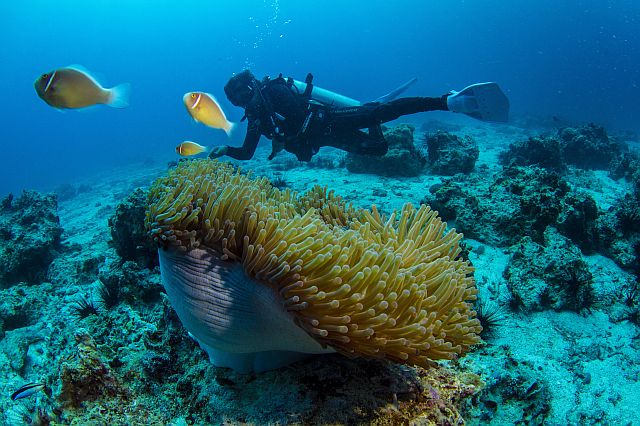
A diver surveys the damage to the corals in Monad Shoal at the time when MV Belle Rose ran aground in the marine protected area. (CDN FILE)
The Visayas Association of Ferryboat and Coastwise Service Operators (VAFCSO) has asked the government to update existing maritime maps to include the specific location of marine protected areas (MPA).
Alexander Cohon, VAFCSO president, said that not knowing where these MPAs are would put sea vessels at risk of dropping anchor in these areas which could potentially damage marine life there and would be bad for business at the same time.
“Incidents like these pose a great risk to our business. But most of all, it is harmful to the environment,” he said in a recent conference to kick off the 2016 National Maritime Week Celebration in Cebu City.
He said that today’s maritime maps are outdated with no markings where the MPAs are. Dropping anchor, especially in bad weather, would be necessary but it would also be a problem if it harmed the environment.
MPAs are protected areas of seas, oceans, or large lakes. These restrict human activity for conservation purpose, primarily to protect natural or cultural resources.
According to The Coral Triangle Atlas, the Philippines has over 1,500 MPAs, 29 of which were nationally designated while the rest are community based.
Cohon called on the different line agencies and local government units to work together to identify all MPAs in the country, plot their coordinates, and place it in a notice to mariners.
He recalled how M/V Belle Rose ran aground in Monad Shoal, a protected area four nautical miles southeast of Malapascua Island, last June 13.
The ship damaged a coral reef area spanning 2.4 hectares with its hull leaving a 50-by-480-meter and 10-cm deep scrape on the hard rock when it was pulled out one week later.
The ship was on its way to San Fernando town in southern Cebu to deliver 48,000 metric tons of clinker, a raw material for cement manufacturing.
Ship owner Crest Ocean Traders SA initially guaranteed a maximum of $1.5 million for the rehabilitation of the damaged area, to be shouldered by insurance coverage.
Cohon said that this was a small amount for companies like the owner of Belle Rose, but this amount could spell bankruptcy for most of the operators in the 28-member VAFCSO.
The National Mapping and Resource Information Authority (NAMRIA) is responsible for the survey and mapping of the country’s terrestrial and maritime territories, among others.
But the process it takes to update these maritime maps would be tedious and long.
It was proposed during the conference that the Philippine Coast Guard, through its marine environmental protection unit, coordinate with local government units in identifying their respective MPAs.
Once identified, this information will then be issued in a temporary notice to the mariner while the NAMRIA updates existing maps.
Maritime Industry Authority Central Visayas (Marina-7) Director Nanette Dinopol said that although mapping isn’t one of her agency’s areas of concern, she vowed to bring the issue up to management.
She said that she will see to it that this is brought up to the Department of Transportation (DOTr) and the Department of Environment and Natural Resources (DENR), the agency responsible for the designation of protected areas in the country.
Two environmental group leaders, when asked to comment on Vafsco’s proposal, said they would support it.
Vince Cinches, Oceans Campaigner for Greenpeace Southeast Asia, said that mapping the marine protected areas is urgent and necessary.
“It is also the responsibility of the owners and operators on how to properly dock (their vessels),” Cinches told Cebu Daily News.
They should identify if there are presence of corals in the area.
“If there are corals, it means you will not drop the anchor because it will affect the (coral) system,” he added.
Aside from mapping, he also suggested to place buoys near the marine protected areas to prevent vessels from passing through the area which should be a joint effort between private and government.
Lawyer Gloria Ramos, Ocean Philippines vice president, said that this should have been done before.
Ramos said that whale, dolphins and other marine mammals should be protected.
She said that a management plan would also be needed where specific areas would be identified for no vessels allowed.
“It should be initiated by the government,” Ramos told CDN.
Disclaimer: The comments uploaded on this site do not necessarily represent or reflect the views of management and owner of Cebudailynews. We reserve the right to exclude comments that we deem to be inconsistent with our editorial standards.