Cebu City to trail map waterfalls for safety and risk reduction
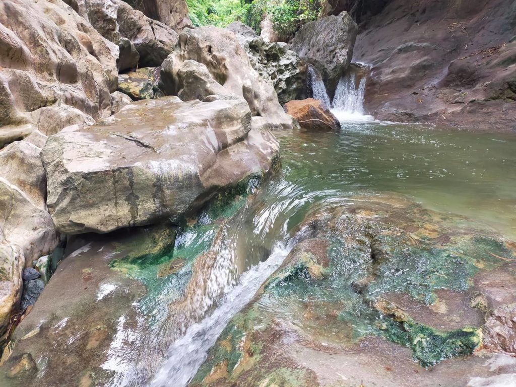
Manggasang Falls in Barangay Tagbao, Cebu City.
CEBU CITY, Philippines — The Cebu City Disaster Risk Reduction and Management Office (CDRMMO) has begun trial mapping waterfalls around the city’s mountain barangays to ensure the safety of visitors both locals and tourists.
The trail mapping has been a long plan for the promotion of tourism, but with the recent flash flood in the Tinubdan River in Catmon town that took three lives, the city has found the need to ensure the safety of the trails.
There are at least 20 waterfalls in the city’s mountain barangays that need to be secured because they have become common hike trails for both locals and tourists.
Barangay Budlaan is home to hiking trails that lead to two waterfalls that may need mitigating measures, particularly the Kabang Falls and Tinisig-uwang Falls.
The two falls have already been identified to be the next tourism development in Budlaan, but Kabang Falls has proven dangerous with at least one reported drowning incident. Tinisig-uwan Falls is also dangerous because of its height of 40 feet.
This is why Barangay Budlaan already plans to draft an ordinance that would put up mitigating measures for taking the hike trails.
CDRRMO head Ramil Ayuman said that they assisted Budlaan in coming up with safety measures for the two trails including the incorporation of trail markers that would help hikers find their way in and out of the trail.
These markers will contain information such as emergency numbers and a quick response (QR) code that hikers can scan using a mobile phone to find their GPS location.
“So kung masaag ka, naay QR code nga naay system dinha nga makahibaw ka asa kang lugara. At least kung naay masaag, makahibaw dayon,” said Ayuman.
Budlaan also plans to pass a resolution ahead of the ordinance imposing an environment fee for the hiking trail so the barangay can have funds to maintain them.
If all these mitigating measures are implemented, hikers will need to coordinate with the barangay before going through the trail and they be obliged to get tourist guides.
Ayuman said tourist guides are also being trained now to ensure the safety of clients.
Since barangay ordinances need the approval of the City Council, the CDRRMO hopes a councilor will sponsor a similar ordinance that would be applicable to the entire Cebu City so it can cover all waterfalls and hiking tracks.
For now, Ayuman, said they will continue to map the hike trails and waterfalls to identify the hazard areas and implement mitigating measures. /rcg
RELATED STORIES:
Catmon police ready should LGU need assistance investigating Tinubdan Falls tragedy
Body of missing mother found on waters of Carmen town
CPPO chief to recommend temporary closure of Tinubdan falls from tourists
Disclaimer: The comments uploaded on this site do not necessarily represent or reflect the views of management and owner of Cebudailynews. We reserve the right to exclude comments that we deem to be inconsistent with our editorial standards.