
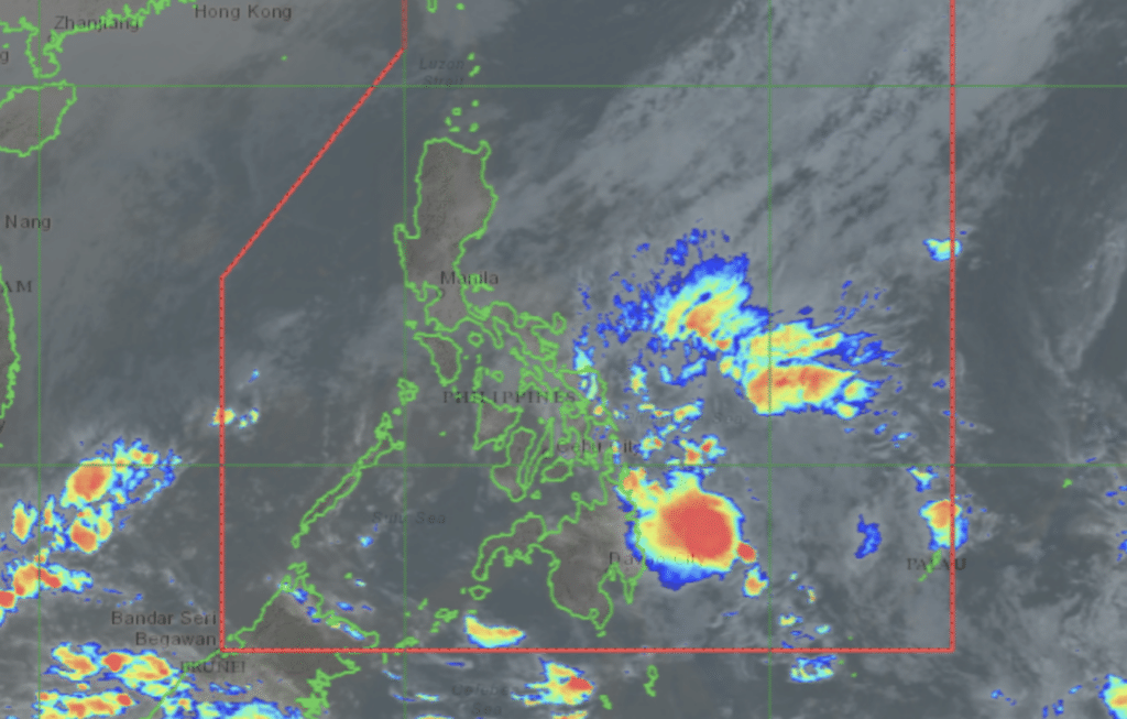
Pagasa satellite image as of December 18, 2024.
(UPDATED, Dec 19, 1 p.m.) Here are the latest updates on Tropical Depression (TD) ‘Querubin,’ which developed into a TD on Tuesday, December 17, 2024.
Bookmark this page to get the latest updates on Querubin. (scroll down to for the latest updates.)
READ MORE:
LIST: Philippine Typhoon Names for 2024
EXPLAINER: The different categories of tropical cyclones
EXPLAINER: What do color-coded rainfall warnings mean?
Querubin, shearline to bring moderate to heavy rains in Cebu
Cebu will experience moderate to heavy rains starting Wednesday, Dec. 18, due to the presence of two weather systems.
The state weather bureau, on Tuesday, Dec. 17, issued a heavy rainfall outlook, warning residents in various parts of the country about possible heavy rains caused by the combination of the shearline and Tropical Depression Querubin.
TD Querubin maintains strength, Signal No. 1 in Davao Oriental
TD Querubin has maintained its strength over the waters east of Mindanao, the Philippine Atmospheric, Geophysical, and Astronomical Services Administration (Pagasa) said Wednesday morning.
According to Pagasa’s 5:00 a.m. bulletin, Querubin was spotted some 230 kilometers (km) east of Davao City or 205 km east of Tagum City, Davao del Norte, moving north-northwest at 10 kilometers per hour (kph).
It is packing a maximum sustained wind speed of 45 kph and gustiness of up to 55 kph, Pagasa added.
Tropical Cyclone Wind Signal No. 1 is still up over Davao Oriental, where winds of 39 to 61 kph and intermittent rains may be expected within 36 hours.
HEAVY RAINFALL WARNING
Pagasa: TD Querubin, shearline to bring rains over Visayas, Mindanao
The weather bureau said Wednesday the shearline and Tropical Depression Querubin will bring rains across the Visayas and Mindanao.
Davao Oriental, still under tropical cyclone wind signal no. 1, will continue to experience rains with gusty winds.
Pagasa: Querubin updates
Signal No. 1
TD Querubin update
PAGASA warns of flooding, lahar from Kanlaon due to ‘Querubin’
Tropical Depression Querubin is expected to weaken into a remnant low within 24 hours, but it could still pose risks of flooding and lahar flows from the Kanlaon Volcano on Friday, the weather bureau warned Wednesday.
“The remnant low is expected to be very near Mt. Kanlaon by Friday, so those living near the volcano should take extra precautions against possible flooding and lahar,” Veronica Torres, weather specialist of the Philippine Atmospheric, Geophysical and Astronomical Services Administration (PAGASA), said in a briefing before noon.
The weather bureau advised residents near Kanlaon to remain vigilant.
Querubin’s remnants are expected to continue bringing rains over much of Visayas and Mindanao, including the Sulu Sea and Palawan, which are part of its forecast track.
Read full story here.
Nahilis na si Querubin
Subscribe to our regional newsletter
Disclaimer: The comments uploaded on this site do not necessarily represent or reflect the views of management and owner of Cebudailynews. We reserve the right to exclude comments that we deem to be inconsistent with our editorial standards.