FireCheck Project uses technology in disaster mitigation and response

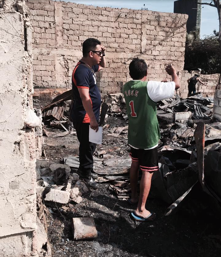
The FireCheck field survey is now ongoing. /Contributed photo
CEBU CITY, Philippines — With fire being a common occurrence especially in thickly populated communities in Metro Cebu, the national government is partnering with local communities in coming up with fire hazard mapping and possible mitigations.
The FireCheck Project entitled: Urban Fire Hazard Mapping and Fire Spread Modelling envisions to “put out fire before it begins.”
“Through data and information, FireCheck blazes a trail in developing scientific innovation outputs at the forefront of urban fire prevention,” says their press statement.
A first of its kind in Metro Cebu and in the Philippines, FireCheck intends to develop fire hazard maps and plans in the three highly urbanized cities of Cebu, Mandaue, and Lapu-Lapu.
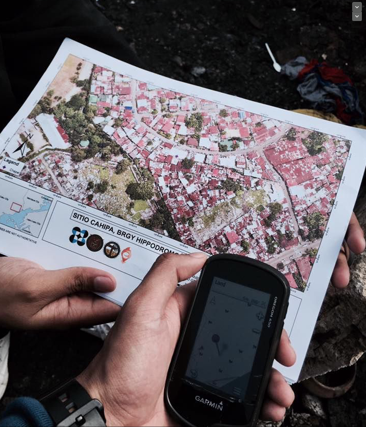
Funded by the Department of Science and Technology (DOST) and monitored by its Philippine Council for Industry, Energy and Emerging Technology Research and Development (PCIEERD), the program is designed to develop a fire spread simulation model for forecasting and damage estimation and develop a mobile app for 3D rendered community maps that will aid firefighters from the Bureau of Fire and Protection in Central Visayas (BFP-7) in the identification of the needed response procedure.

DOST’s Urban Fire Hazard Mapping and Fire Spread Modelling envisions to put out fire before it begins.
FireCheck also intends to identify and assess the vulnerability of the communities at risk to come up with investment and evacuation plans in order to support better response planning, identify vulnerable infrastructure and key lifelines, and come up with better evacuation routes in collaboration with BFP-7 the planning and development office and the Disaster Risk Reduction Management offices of the the three pilot areas.
Last year, the FireCheck Project team developed a mobile Attribution Application (app) that allows users to gather data and/or information using their smartphones.
The team kicked off the new year by conducting a training and an on-site testing of their new app in Barangay Basak, Lapu-Lapu City on January 28.
The activity also signaled the start of FireCheck’s Pilot Field Survey to gather building or house data. The survey will look into the type of building that exist in the pilot community and the construction materials used among others.
FireCheck’s PR said that their 10-day field enumeration has already started in selected communities in Barangay Basak.
FireCheck aims to translate field data and information for communication unto target population in Metro Cebu about fire hazards, and measures to be able to combat negative consequences to a much greater extent.
Disclaimer: The comments uploaded on this site do not necessarily represent or reflect the views of management and owner of Cebudailynews. We reserve the right to exclude comments that we deem to be inconsistent with our editorial standards.
