Storm surge warning up in northern Cebu towns
CEBU CITY, Philippines — Five towns in northern Cebu are advised to prepare for possible storm surges brought about by Typhoon Ursula.
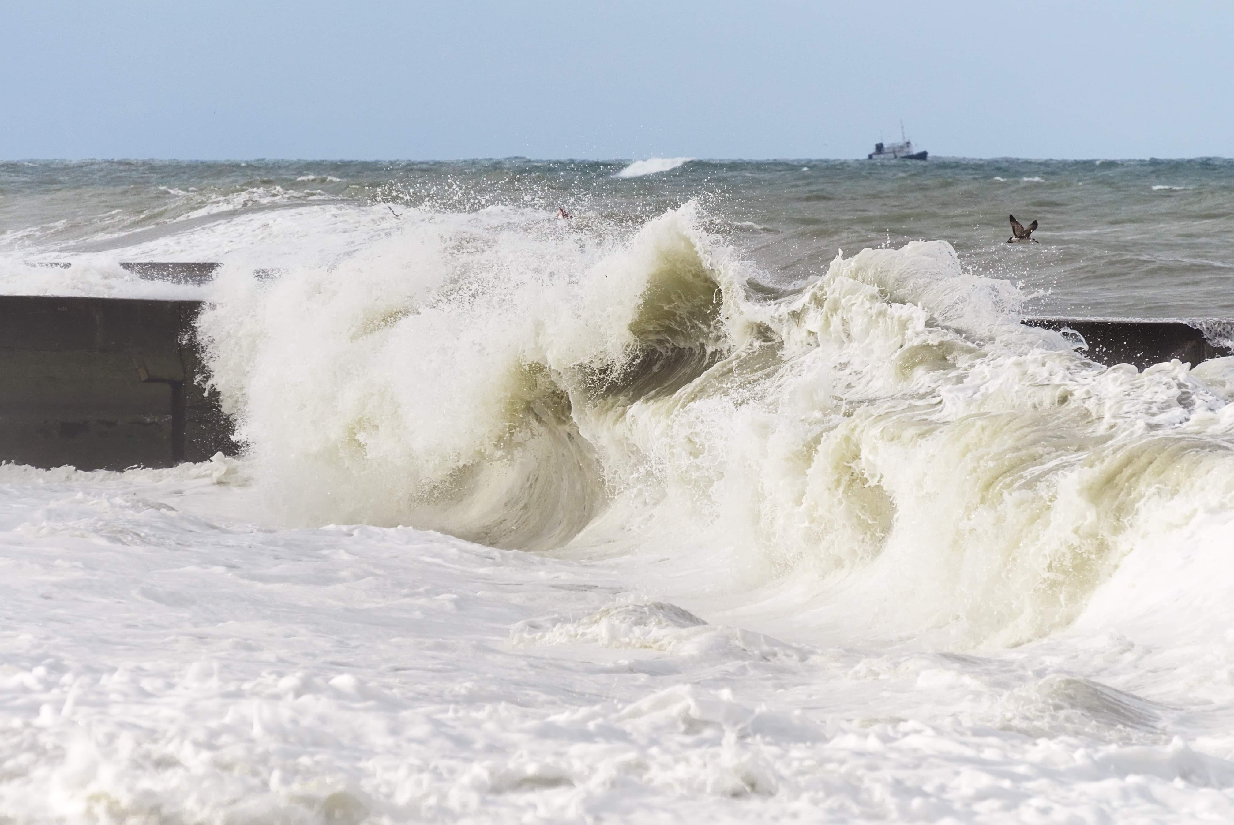
These towns are Santa Fe, Madridejos, Bantayan, Daanbantayan and Medellin.
Romeo Aguirre, weather specialist in the Mactan Station of the Philippine Atmospheric Geophysical and Astronomical Services Administration (Pagasa), said the storm surges could reach one to two meters high.
“Ang effect ani niya pwede ni maka-cause moderate to significant damages for structures sa coastal communities especially kadtong made of light materials,” Aguirre told CDN Digital.
(The effect of storm surge can cause moderate to significant damages on structures in coastal communities especially those made of light materials.)
The areas under the storm surge warning have also been placed under Tropical Cyclone Wind Signal Number 3.
In its 5 p.m. advisory, signal number 3 has been hoisted over extreme northern Cebu towns including Camotes Island (San Francisco, Poro, Tudela, Pilar), Bantayan Island (Bantayan, Sta. Fe, Madridejos), Daanbantayan and Medellin.
Signal number 3 has been raised over Masbate including Ticao Island, Northern Samar, Samar, Eastern Samar, Biliran and Leyte.
Storm signal number 2 has also been placed over the central portion of northern Cebu (Bogo City, Tabogon, Tabuelan, Borbon), the southern portion of Quezon, Marinduque, Oriental Mindoro, Occidental Mindoro including Lubang Island, Romblon, Albay, Sorsogon, Burias Island, Calamian and Cuyo Islands, northeastern Iloilo, northern Antique, Capiz, Aklan, Southern Leyte and northern Negros Occidental, and Dinagat Islands.
The rest of Cebu, Bohol, Siquijor, Antique, Iloilo, Guimaras, Negros Oriental and Negros Occidental are under storm signal number 1.
Bulacan, Bataan, Metro Manila, Rizal, Cavite, rest of Quezon, Laguna, Batangas, Camarines Sur, Camarines Norte, Catanduanes, and northern Palawan are also under storm signal no. 1.
Typhoon Ursula has already made its first landfall in Salcedo, Eastern Samar at 4:45 p.m. on Tuesday, December 24.
The typhoon, currently at 20 kilometers east northeast of Guiuan, Eastern Samar is traveling west at 25 kilometer per hour (kph) and is expected to cross over Central Visayas this Christmas eve with maximum sustained winds of 120 kph and gustiness of up to 150 kph. / celr
Disclaimer: The comments uploaded on this site do not necessarily represent or reflect the views of management and owner of Cebudailynews. We reserve the right to exclude comments that we deem to be inconsistent with our editorial standards.