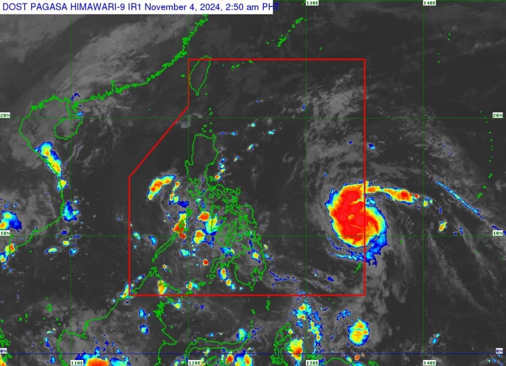
Satellite image of Marce from Pagasa. | Pagasa image
Marce (international name YINXING) has intensified into a tropical storm as it entered the Philippine Area of Responsibility (PAR) early Monday, November 4, 2024.
Based on Pagasa’s bulletin issued at 5 a.m., Marce was estimated at 935 kilometers east of Eastern Visayas as of 4 a.m.
Marce packs maximum sustained winds of 65 km/hr near the center, gustiness of up to 80 km/h, and central pressure of 1002 hPa while moving west northwestward at 25 km/h.
READ MORE:
LIST: Philippine Typhoon Names for 2024
No Wind Signal is currently hoisted due to Marce as of Monday morning.
However, tropical cyclone wind signal No. 1 may be hoisted over portions of Cagayan by Tuesday. The highest Wind Signal which may be hoisted during the occurrence of Marce is Wind Signal No. 4, Pagasa said.
Marce: heavy rainfall outlook
As MARCE moves northwestward within the PAR region, it may enhance the surge of northeasterly wind flow, which may occur within the week, Pagasa said.
This, and the trough of the tropical cyclone, will bring rains over Extreme Northern Luzon and the eastern section of Luzon beginning Monday or on Tuesday.
Track and intensity of Marce
Marce is forecast to move west northwestward to northwestward until Wednesday morning, November 6, before it begins to decelerate significantly while turning westward.
From Wednesday afternoon until the end of the forecast period, this tropical cyclone will move north northwestward to westward at a slow pace over the Philippine Sea east of extreme Northern Luzon.
Pagasa said this portion of the forecast has a high uncertainty due to two possible scenarios. Either the tropical cyclone will move more westward towards extreme Northern Luzon or mainland Luzon or it will move erratically over the Philippine Sea east of extreme Northern Luzon. As such, this portion of the track forecast is highly likely to change in the succeeding advisories or bulletins.
Disclaimer: The comments uploaded on this site do not necessarily represent or reflect the views of management and owner of Cebudailynews. We reserve the right to exclude comments that we deem to be inconsistent with our editorial standards.
