ITCZ to bring isolated rain showers in Metro Cebu
/CDN file photo
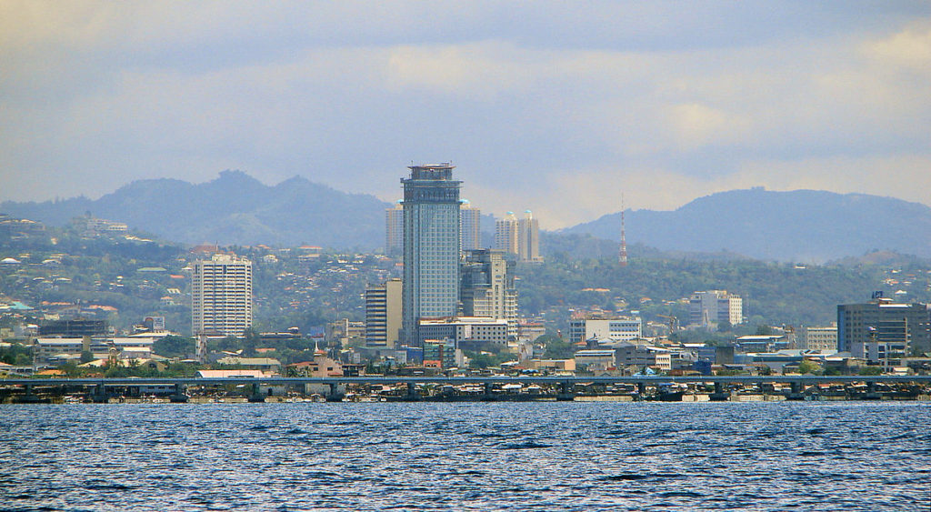
CEBU CITY, Philippines – The Intertropical Convergence Zone (ITCZ) will bring cloudy skies and isolated rain showers over Metro Cebu on Saturday, May 20, 2023.
Engr. Al Quiblat, Philippine Atmospheric, Geophysical and Astronomical Services Administration Mactan (Pagasa-Mactan) chief, said that based on their extended weather forecast, there would also be a high chance of isolated heavy rains on Saturday afternoon.
“Unya, in the afternoon, naay chance of mga thunderstorm occurrences nga posible makahatag og mga kalit kalit nga kusog nga mga pag-ulan,” he told CDN Digital.
(And in the afternoon, there are chances of thunderstorm occurrences that possibly can bring sudden downpour of rain.)
READ: Isolated rains possible over Mindanao due to ITCZ — Pagasa
ITCZ expected to weaken
He, however, said Metro Cebu’s weather would slightly improve from Sunday until Wednesday, as the ITCZ is also expected to weaken.
“So, partly cloudy to cloudy. Unya naa gihapoy mga isolated thunderstorms particularly in the afternoon or evening, hangtod na na sa Wednesday,” he said.
(So, it is partly cloudy to cloudy. And there are still isolated thunderstorms, particularly in the afternoon or evening, that will be until Wednesday.)
The temperature on Saturday would range from 25-33 degrees Celsius, and would slightly increase to 27 to 34 degrees Celsius.
READ: Mandaue disaster risk reduction body prepares for rainy season
Monitoring tropical depression
Meanwhile, Quiblat said they were currently monitoring a tropical depression or weak storm outside the Philippine Area of Responsibility, located 2,510 kilometers East of Mindanao.
The tropical depression currently has no direct effect in the country but is expected to strengthen into a typhoon category in the next few days.
“But ang good news, sa iyang gipakita karon nga track or movement, nagnorth to northwards siya. So, expected posible nga makasud sa PAR by Friday next week but ari sa gilid, sa north eastern portion sa area of responsibility,” he said, noting that they had not yet seen a scenario of a landfall.
(But the good news, is that with its shown track or movement, it is heading north to northwards. So, it is possibly expected that the this can enter our PAR by Friday next week but it will only be in the side, on the north eastern portion of the area of responsibility.)
Rainfall amount
Meanwhile, Pagasa-Mactan recorded a rainfall amount of 48 millimeters of rain or 240,000 drums of rain per square kilometer during the downpour on Friday afternoon, May 19.
Quiblat was referring to the isolated torrential rains felt in Metro Cebu, particularly Cebu City, Mandaue City, Consolacion, and Talisay City, on Friday afternoon, May 19, 2023, which lasted for about one and a half hours (between 3 p.m. to 4:30 p.m.) due to thunderstorms.
RELATED STORIES
El Niño may bring more rain to western part of PH during habagat season – Pagasa
‘Danger’ zone heat indices scorching parts of PH for sixth day straight
/dbs
Disclaimer: The comments uploaded on this site do not necessarily represent or reflect the views of management and owner of Cebudailynews. We reserve the right to exclude comments that we deem to be inconsistent with our editorial standards.