Pagasa to lift TCWS warnings soon as Betty steadily moves away from PH
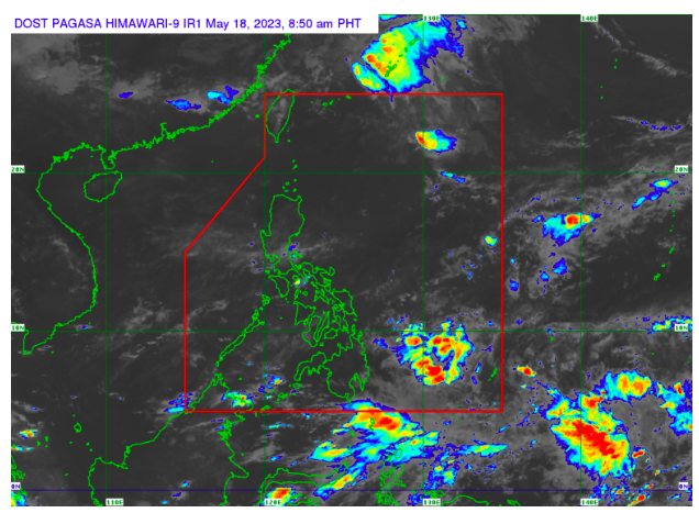
Weather satellite image from Pagasa’s website
MANILA, Philippines — The state weather bureau said it may remove its Tropical Cyclone Wind Signal No. 1 warning over several areas in Luzon as early as Wednesday since Typhoon Betty (international name: Mawar) is steadily moving north-northwestward possibly toward Japan.
Based on its 4:00 a.m. bulletin, the Philippine Atmospheric, Geophysical and Astronomical Services Administration (Pagasa) said Betty was last located 320 kilometers east of Itbayat, Batanes, packing maximum sustained winds of 120 kilometers per hour (kph) near the center with gustiness of up to 150 kph.
“Posible din po na ngayong araw o bukas ay tuluyan na pong mawawala itong mga Tropical Cyclone Wind Signals, partikular na kung saan nakataas ang Signal No. 1,” Pagasa weather specialist Obet Badrina said in a press briefing Wednesday.
(It is also possible that today or tomorrow, these Tropical Cyclone Wind Signals will be removed, especially where Signal No. 1 is raised.)
READ: Sea trips in Batangas resume
Pagasa hoisted TCWS No. 1 in areas of Cagayan including Babuyan Islands; the northern and eastern portions of Isabela; the eastern portion of Ilocos Norte; the northern portion of Kalinga; and the northeastern portion of Abra.
READ: Typhoon Betty affects more than 11,000 people – NDRRMC
Badrina also said the typhoon may weaken into a severe tropical storm by Thursday, June 1, before finally exiting the Philippine area of responsibility (PAR) by Friday.
“Nakikita natin na bukas ay posibleng bumaba na o humina pa ‘yung bagyo at maging isang Severe Tropical Storm na lamang, hanggang sa makalabas ito ng PAR, araw ng Biyernes,” he explained.
(We see that by tomorrow, it is possible that the typhoon will decrease or weaken and become a Severe Tropical Storm, until it leaves the PAR, on Friday.)
RELATED STORIES
Super Typhoon Betty enters PAR
Typhoon Betty out of PAR by Thursday or Friday, ‘habagat’ to trigger rain – Pagasa
kga
Disclaimer: The comments uploaded on this site do not necessarily represent or reflect the views of management and owner of Cebudailynews. We reserve the right to exclude comments that we deem to be inconsistent with our editorial standards.