Metro Cebu to experience rains until the weekend due to ITCZ
/CDN file photo
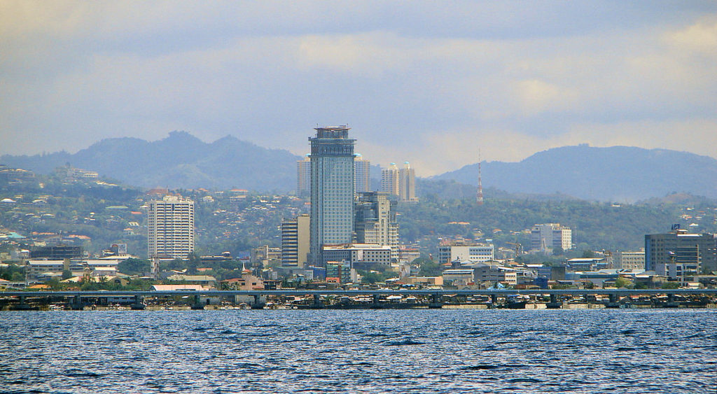
CEBU CITY, Philippines — The Intertropical Convergence Zone (ITCZ) that is currently affecting Palawan, Visayas, and Mindanao will bring cloudy skies and rain in Metro Cebu and the rest of Cebu Island from Thursday until Sunday, June 22 to June 25, 2023.
Engineer Al Quiblat, Philippine Atmospheric, Geophysical and Astronomical Services Administration Mactan (Pagasa Mactan) station chief, in a phone interview on Thursday, June 22, said there would be about a 70 percent chance of rain in Cebu, with sunny breaks, in the following days.
READ: Gloomy weather expected in Visayas due to ITCZ
“Unya, during thunderstorms, naay higayon nga kusog ang mga pag-ulan pero naa tay gitawag og sunny periods within the day — dunay mupakita ang adlaw pero kasagaran sa adlaw, mostly cloudy unya duna g’yuy chance nga mga pag-ulan at 70 percent,” he told CDN Digital.
(And, during thunderstorms, there are chances of heavy rains but we also have sunny periods within the day — there are times when the sun would show but the the day would mostly be cloudy and there will really be a chance for rain at 70 percent.)
“So, magdala og payong kung mugawas man para panangga sa ulan ug init,” he added.
(So bring an umbrella if you go out to protect you from the rain and heat.)
READ: Rainy Thursday in Palawan, parts of Mindanao as ITCZ continues to prevail
Quiblat said they had not monitored any low pressure area (LPA) or tropical cyclone within the Philippine Area of Responsibility (PAR). Still, they would not discount the possibility that an LPA would develop over the weekend under the current conditions.
“Wala tay LPA or bagyo nga nasigpatan sa pagkakaron pero kaning ITCZ active ni siya, so naay chance nga posibleng modevelop ang LPA within PAR for the next days. Dili nato irule out nga naay madevelop nga LPA sa weekend,” he said.
(We do not have an LPA nor have we spotted any typhoon now, but we have this active ITCZ, so there is a chance that possibly the LPA will develop within PAR for the next days. We will not rule out that there will be an LPA that will develop over the weekend.)
READ: Keep umbrellas handy: Pagasa officially declares rainy season
Sea condition is currently slight to moderate, and fishermen of small sea vessels are advised to exercise caution when at sea, especially during thunderstorms.
“Kanang mga sakyanang pandagat mag-amping kay during thunderstorms, naa na diha matungod sa kadagatan ang thunderstorm occurrences. Naa baya na siyay feature nga mukusog ang hangin. Magbantay lang,” he added.
(Sea vessels are advised to be cautious because during thunderstorms, these thunderstorms will occur at sea. This has a feature where the wind will become stronger. We should always be cautious and vigilant.)
Light to moderate, with at times heavy rains, have been felt in areas in Cebu, including Carmen, Asturias, Sogod, Tuburan, San Remigio, Badian, Alcoy, and Oslob, on Thursday.
READ: Beijing braces for blistering hot weather as heatwaves return
Disclaimer: The comments uploaded on this site do not necessarily represent or reflect the views of management and owner of Cebudailynews. We reserve the right to exclude comments that we deem to be inconsistent with our editorial standards.