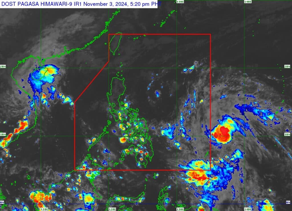
LPA outside PAR develops into tropical depression – Pagasa

| Pagasa_DOST
MANILA, Philippines — The low-pressure area outside the Philippine Area of Responsibility became a tropical depression on Sunday afternoon, the Philippine Atmospheric, Geophysical, and Astronomical Services Administration (Pagasa) said.
In its 4 p.m. bulletin, the state weather bureau said the tropical depression was last spotted 1,350 kilometers east of Eastern Visayas. It was moving northwestward at 30 kilometers per hour (kph).
It was packing maximum sustained winds of 55 kph, with gusts of up to 70 kph, according to Pagasa.
ALSO READ:
Leon exits PAR as it weakens into a storm
Reported deaths due to Kristine reach 146 – NDRRMC
Meanwhile, northeasterly windflow, or weak Northeast Monsoon, may cause partly cloudy to cloudy skies with isolated light rains over Batanes and Babuyan Islands.
The Bicol Region, Eastern Visayas, Aurora, Quezon, and the rest of Cagayan Valley, on the other hand, may experience partly cloudy to cloudy skies with isolated rainshowers or thunderstorms due to easterlies.
Partly cloudy to cloudy skies with isolated rain showers may also be experienced in Metro Manila and the rest of the country due to localized thunderstorms.
Pagasa did not raise a gale warning over any of the country’s seaboards as of Sunday afternoon.
Disclaimer: The comments uploaded on this site do not necessarily represent or reflect the views of management and owner of Cebudailynews. We reserve the right to exclude comments that we deem to be inconsistent with our editorial standards.
