Tropical Depression Gener: Signal No. 1 up in 24 areas
MANILA, Philippines — Tropical Cyclone Wind Signal (TCWS) No. 1 is raised on Tuesday in 24 areas due to Tropical Depression Gener.
That is according to the Philippine Atmospheric, Geophysical and Astronomical Services Administration (Pagasa).
The state weather bureau said that TCWS No. 1 had been raised in the following areas as of 5 a.m. today, September 17:
- Cagayan including the Babuyan Islands
- Isabela
- Quirino
- Nueva Vizcaya
- Apayao
- Kalinga
- Abra
- Ifugao
- Mountain Province
- Benguet
- Ilocos Norte
- Ilocos Sur
- La Union
- Pangasinan
- Zambales
- Tarlac
- Nueva Ecija
- Pampanga
- Bulacan
- the northern and central portions of Bataan (Dinalupihan, Orani, Hermosa)
- Aurora
- the northern portion of Quezon (General Nakar, Infanta) including Polillo Islands
- the northern portions of Rizal (Rodriguez, San Mateo)
- the northern portion of Metro Manila (Quezon City, Caloocan City, City of Valenzuela, City of Malabon, City of Navotas, City of Marikina, City of Manila, City of San Juan, City of Mandaluyong)
READ MORE:
Gener update: TD maintains strength while moving over N. Luzon
Gener to cross north Luzon, Pulasan outside PAR
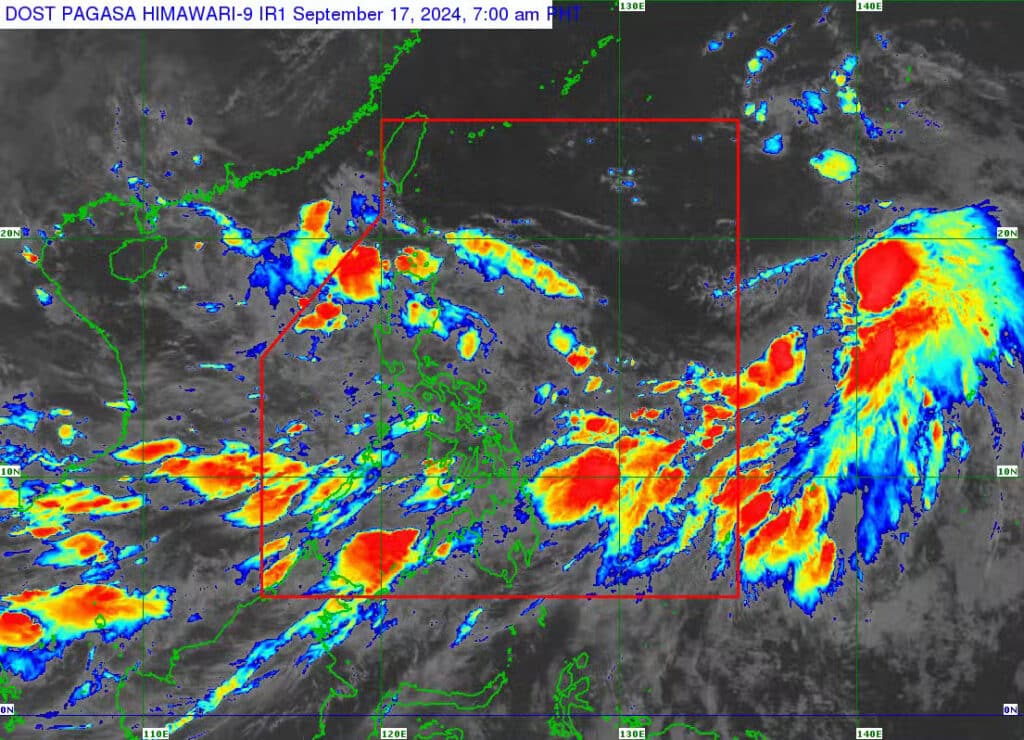
Pagasa said Gener was last spotted in the vicinity of Alicia, Isabela, packing maximum sustained winds of 55 kilometers per hour (kph), gustiness of up to 70 kph and moving west at 30 kph.
“Maaaring bago po magtanghali ay mag-emerge na ito sa may West Philippine Sea at maaaring lumakas pa as a tropical storm,” said Pagasa weather specialist Benison Estareja.
(It is possible that before noon, this may emerge in the West Philippine Sea and may intensify into a tropical storm.)
He added that Gener may remain over the Philippine Sea from afternoon to evening until it leaves the Philippine area of responsibility on Wednesday morning.
Pagasa said rains and strong winds are expected in Metro Manila, Ilocos region, Cordillera Administrative Region, Cagayan Valley, Central Luzon, Rizal, and Quezon on Tuesday due Gener.
The southwest monsoon or “habagat,” will also bring rains to Palawan, Occidental Mindoro, Aklan, Antique, Negros Occidental, the rest of Mimaropa region, Western Visayas, and Negros Island Region.
Meanwhile, the rest of Luzon and Visayas, Zamboanga Peninsula, Bangsamoro Autonomous Region in Muslim Mindanao, Soccsksargen, Caraga, and Northern Mindanao may experience cloudy skies with scattered rains and thunderstorms also due to the “habagat”.
Pagasa added that the same weather system will likely bring partly cloudy to cloudy skies with isolated rainshowers or thunderstorms over the rest of Mindanao.
It added that a gale warning alert is raised in the following seaboards also due to habagat:
- Batanes
- Cagayan, including Babuyan Islands
- Ilocos Norte
- Occidental Mindoro
- Palawan
- Aklan
- Antique
- Iloilo
- Negros Occidental
- Negros Oriental
- Siquijor
- Cebu
- Bohol
- Southern Leyte
- Dinagat Islands
- Surigao del Norte
- Camiguin
- Zamboanga del Norte
Disclaimer: The comments uploaded on this site do not necessarily represent or reflect the views of management and owner of Cebudailynews. We reserve the right to exclude comments that we deem to be inconsistent with our editorial standards.