Goring maintains strength, may cause Signal No. 4 in extreme northern Luzon – Pagasa
Goring update. | Pagasa
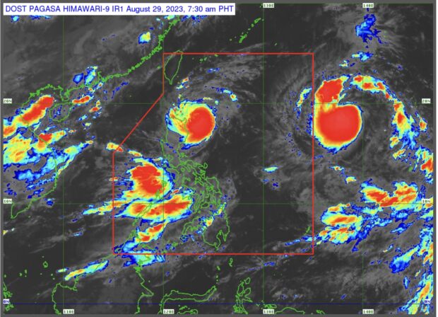
MANILA, Philippines — Typhoon Goring (international name: Saola) has maintained its strength as it was last sighted 220 kilometers (km) east of Aparri, Cagayan on Tuesday, the state weather bureau said.
The typhoon, which has maximum winds speeds of 155 kilometers per hour (kph) and gusts of 190 kph, is moving north northwestward at 10 kph, the Philippine Atmospheric, Geophysical and Astronomical Services Administration (Pagasa) said in its weather report.
“Nakikita nga natin na sakop pa rin ng malalakas na hangin itong eastern portion ng northern Luzon kung saan kapag mas lumapit pa itong si Bagyong Goring dito sa area ng extreme northern Luzon ay posibleng magtaas tayo ng wind signal no. 4 dito yan sa may Batanes, Babuyan islands area,” Pagasa weather specialist Grace Castañeda said.
(We can see that strong winds still affect the eastern portion of northern Luzon. If typhoon Goring goes much closer in the area of extreme northern Luzon, we may raise wind signal no. 4 here in the Batanes and the Babuyan islands area.)
READ MORE: Typhoon Goring maintains strength; Signal No. 1 in 3 areas — Pagasa
Castañeda added that the typhoon may make a landfall in the vicinity of Batanes on Wednesday.
As of Tuesday 5 am, here are the areas where Pagasa has raised tropical cyclone wind signals due to typhoon Goring:
Signal No. 3
- Northeastern portion of Babuyan islands
Signal No. 2
- Batanes
- Rest of Babuyan
- Extreme northeastern portion of mainland Cagayan
Signal No. 1
- Northern and eastern portions of mainland Cagayan
- Eastern portion of Isabela
- Northern portion of Apayao
- Northern portion of Ilocos Norte
Several areas in northern, central, and southern Luzon, including Metro Manila, as well as Visayas and Mindanao will experience gusty wind conditions until Thursday due to the southwest monsoon enhanced by typhoon Goring.
Goring is expected to exit the Philippine area of responsibility (PAR) on Wednesday evening or Thursday morning.
Meanwhile, a tropical storm (international name: Haikui) 1,885 kilometers east of northern Luzon is still outside the PAR, and has maximum wind speeds of 65 kph and gusts of 80 kph.
It is expected to enter the PAR on Wednesday afternoon or evening, with which it will be given the name “Hanna.” It will remain far from the mainland, but is expected to enhance the southwest monsoon.
“Nakikita nga natin na wala itong direct effect sa anumang bahagi ng ating bansa, ngunit patuloy nitong i-e-enhance ang southwest monsoon o habagat kaya ine-expect natin throughout this week ay patuloy tayong may enhanced habagat na siyang magdudulot ng pag-ulan lalong-lalo na sa kanlurang bahagi ng Luzon at Visayas.”
(We see that it has no direct effect on any part of the country but it continues to enhance the southwest monsoon or habagat, so we expect that throughout this week, we will have an enhanced habagat that will cause rains especially in the western part of Luzon and Visayas.)
Disclaimer: The comments uploaded on this site do not necessarily represent or reflect the views of management and owner of Cebudailynews. We reserve the right to exclude comments that we deem to be inconsistent with our editorial standards.