Cebu weather: Cloudy skies, rain expected in coming days
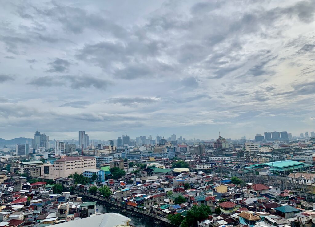
FILE PHOTO: An aerial view of downtown Cebu City taken on July 9, 2023. | CDN Digital photo
CEBU CITY, Philippines – Residents of Metro Cebu and the rest of the province are advised to prepare for cloudy skies and intermittent rain showers in the next few days.
In its latest weather update, the Philippine Atmospheric, Geophysical and Astronomical Services Administration in the Visayas (Pagasa Visayas) said that Metro Cebu and the surrounding areas are expected to experience cloudy skies accompanied by rain showers and thunderstorms this Saturday, Aug. 31.
Winds will be light to moderate, coming from the southwest, with coastal waters ranging from slight to moderate. Temperature is between 26 and 32 degrees Celsius.
On Sunday, Sept. 1, a continuation of the weather pattern is expected throughout the day.
The wind and coastal conditions will remain light to moderate with winds coming from the southwest while the sea condition will also be slight to moderate. However, the temperature is expected to be slightly cooler, ranging from 26 to 30 degrees Celsius.
ALSO READ:
LPA east of Butuan City may develop into tropical depression
Potential LPA off Mindanao to trigger weekend rain showers
Possible LPA spotted east of PH; monsoon rains expected
Extended weather outlook
Looking ahead to an extended weather outlook, Monday will still have cloudy skies and occasional rain showers and thunderstorms.
The southwest monsoon will continue to influence the region, keeping winds light to moderate and coastal waters slight to moderate. Temperatures will range from 26 to 31 degrees Celsius.
On Tuesday, the weather will remain largely unchanged, with temperatures fluctuating between 26°C and 32°C.
By Wednesday, a slight increase in temperature is expected, with highs potentially reaching 33°C. Winds are forecasted to strengthen to moderate levels from the southwest, leading to more active coastal waters, which could become moderate in intensity.
Low Pressure Area
Meanwhile, the weather bureau reported a low pressure area (LPA) located 695 km east of Butuan City, Agusan del Norte, as of 3 a.m. on Saturday.
The LPA, combined with the prevailing southwest monsoon, is contributing to the current weather conditions in the region, particularly affecting the western sections of Southern Luzon and the Visayas.
The regions of Caraga, Davao, Northern Mindanao, SOCCSKSARGEN, Central Visayas, Lanao del Sur, Maguindanao del Norte, Maguindanao del Sur, Leyte, Southern Leyte, and Eastern Samar are likely to experience cloudy skies with scattered rain showers and thunderstorms as a result of the LPA and the southwest monsoon.
Pagasa has issued warnings for possible flash floods or landslides in these areas.
Residents are advised to remain vigilant, particularly in areas that are prone to flooding and landslides, as the unsettled weather is expected to persist in the coming days.
Disclaimer: The comments uploaded on this site do not necessarily represent or reflect the views of management and owner of Cebudailynews. We reserve the right to exclude comments that we deem to be inconsistent with our editorial standards.